Juil
11
2016
The 2017 ultra will be a full tour of Monte Rosa, from Grächen to Grächen, with a 4-stage race along side. This nicely builds upon the experience from the stage race only zero edition, and 2016’s single stage ultra along side the stage race. 2017 thus adds the Europaweg from Grächen to Zermatt, and the crossing from Switzerland to Italy.

On the way to Zermatt!
So how is the new section of trail that has not been run yet? Well, it’s wild! Here’s a Google Earth map.

Google map and profile for Day 1 of the UTMR training camp. This is the 2017 route!
From Grächen, after a flat warmup, it’s a kilometre climb over 5km to get on the Europaweg. From here the views are excellent, but the trails are challenging: narrow and rocky. You can see from the photos below, passing will be difficult in places, and runners will be challenged by crossing boulders on landslides.
There will be a checkpoint at around 15km, the Europahütte, and shortly after here, a bridge across a gorge is closed, which requires a 700m descent followed by a 700m climb again.
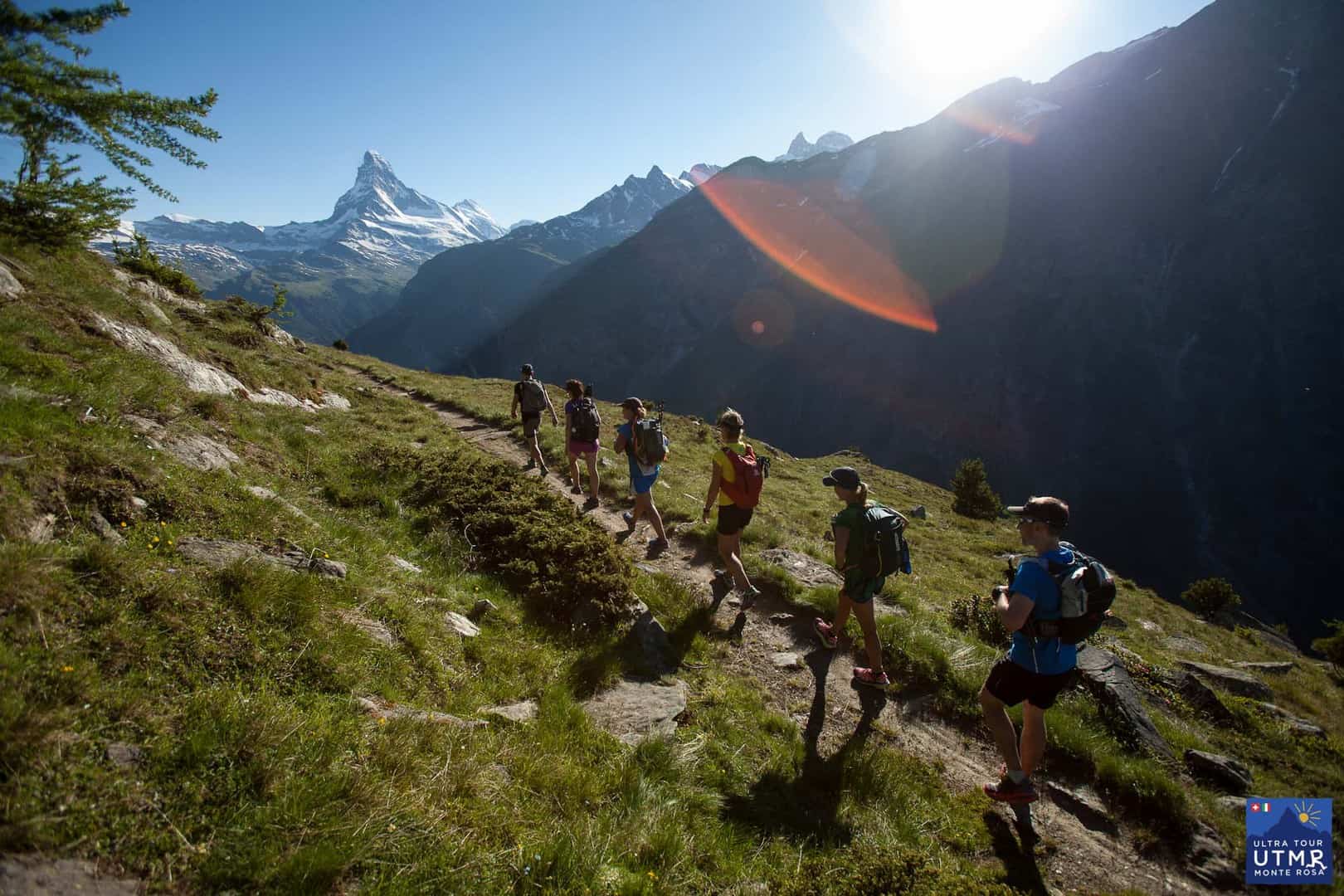
The trail has some wonderful runnable sections, but is always climbing or descending. Towards the end the trails towards Taschalp, and then onwards to Zermatt are beautiful, dream trails even if the weather allows a view to the Matterhorn.
Below are GPX and KML files for the route so you can inspect at your leisure.
After Zermatt there is another substantial climb before the route connects with the 2016 route. It will pass over the Theodul glacier and pass over into Italy near Furggsattel at around 3340m. The two checkpoints here will be:
Then the 2017 route continues as the 2016 route. A GPX / KML track will be released soon which will give distances and elevation changes.