
Aug
02
2016
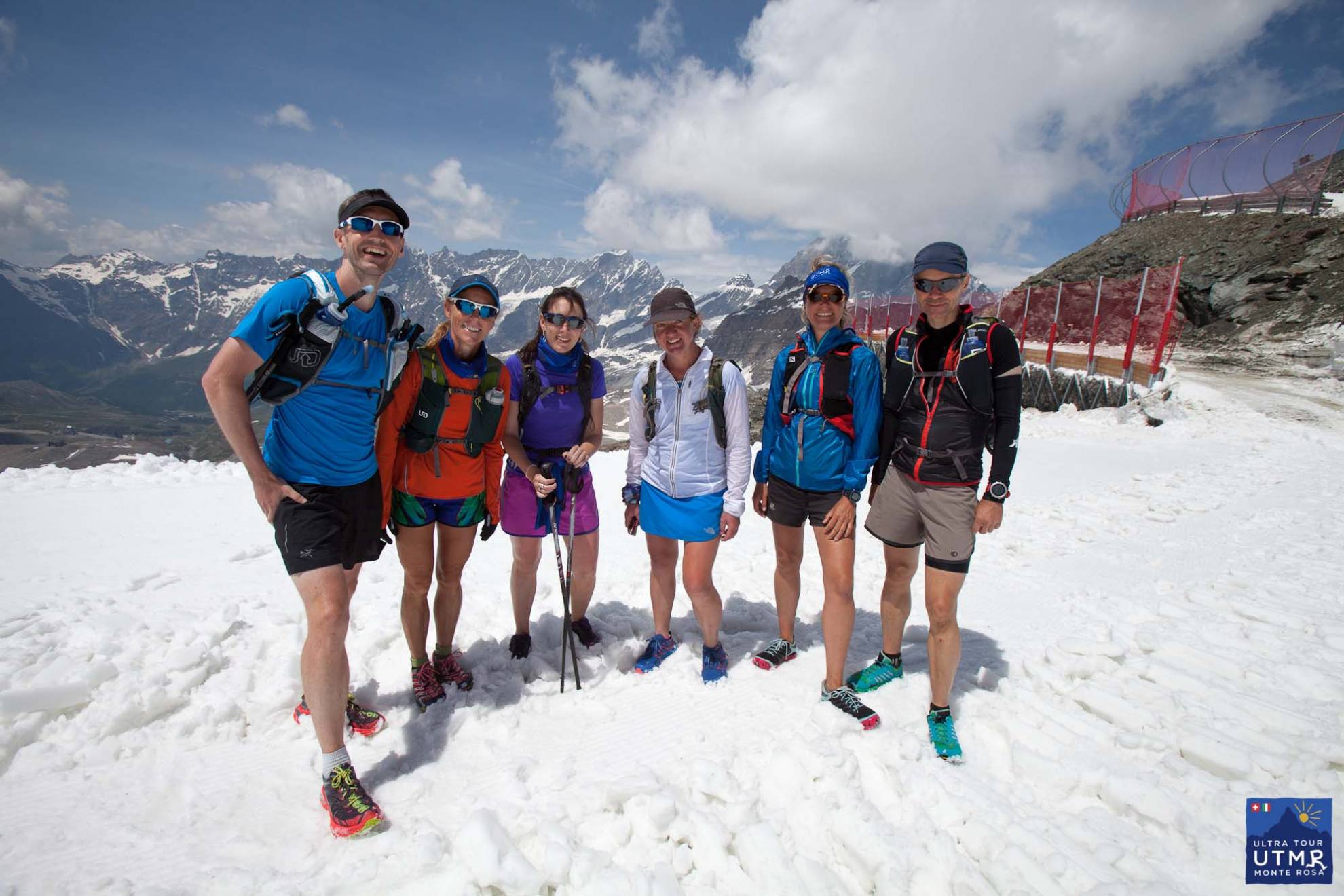
Lizzy Hawker runs training camps around Monte Rosa. These are part UTMR trail familiarisation trips, part running training camps, part trail running instruction from Lizzy, if you ask her nicely. Covering around 170km in four days with some 11,000m of elevation change is a fantastic boost to your training for trail. It’s great preparation for UTMB runners, indeed this was Lizzy’s own training camp for the Ultra-Trail Mont Blanc trail race for many years, though in two days rather than four. (Recently she tested how the full Tour de Monte Rosa route course felt in one continuous run.)
This is the full 2017 route, not split into stages. There will be a four-stage race alongside the ultra.
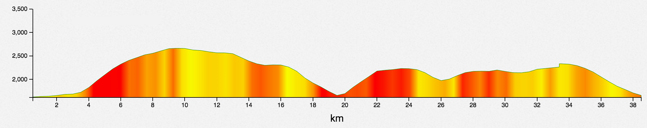
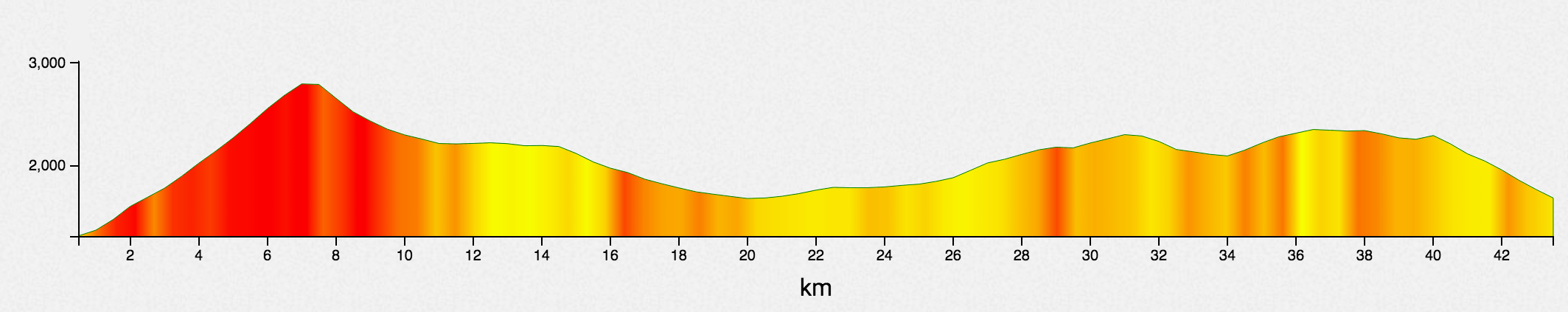
39.5 km D+2554, D-2538
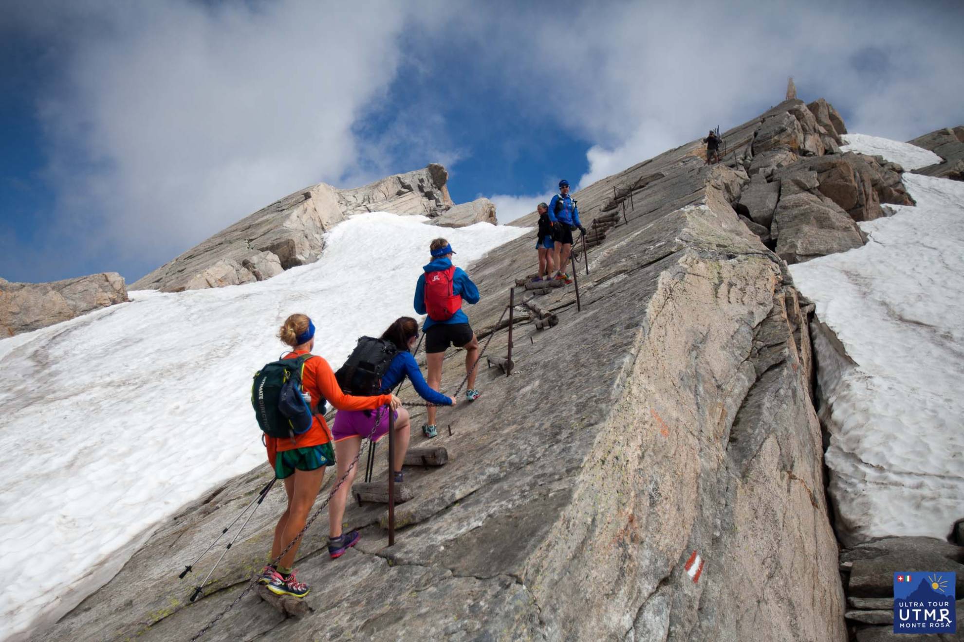
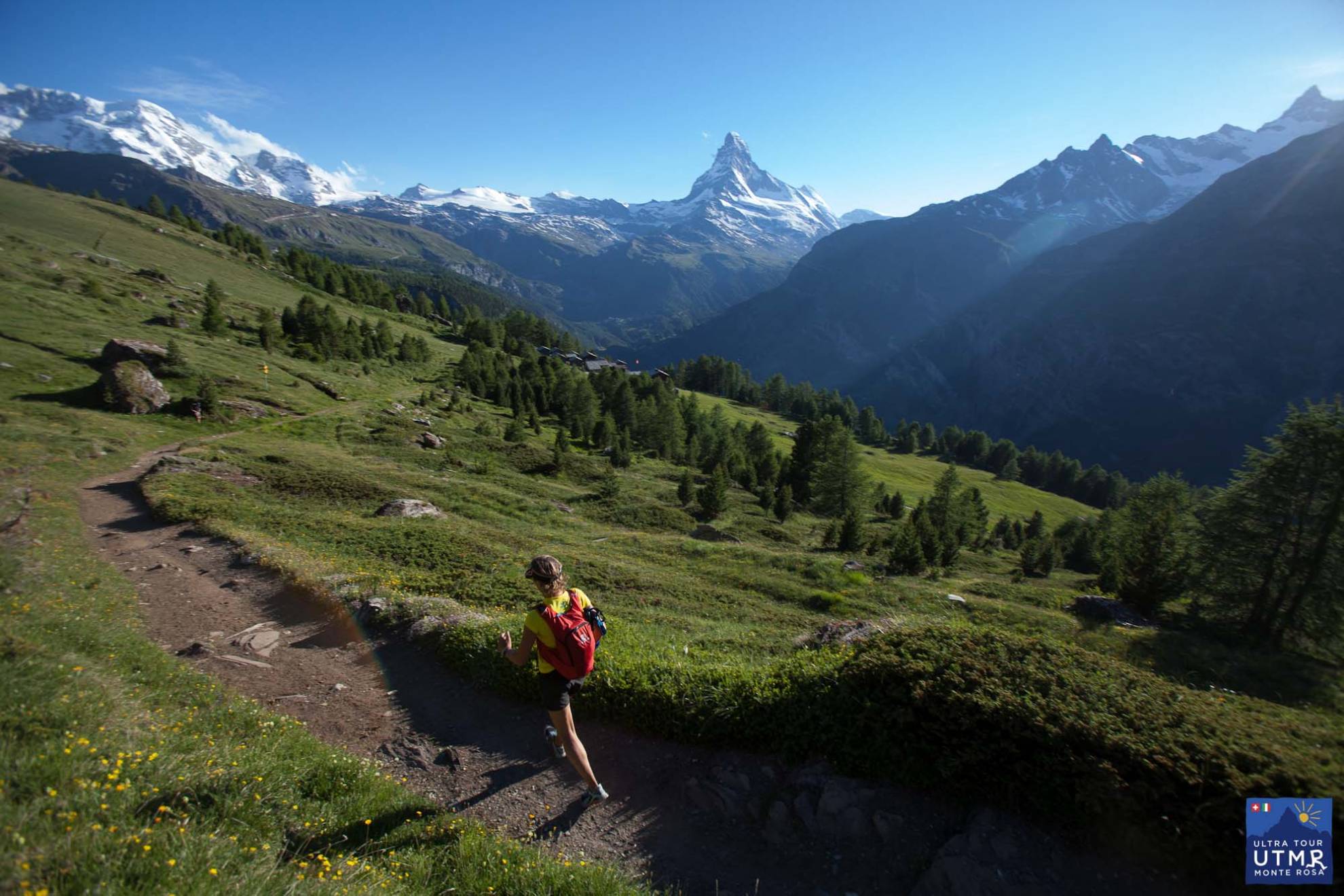
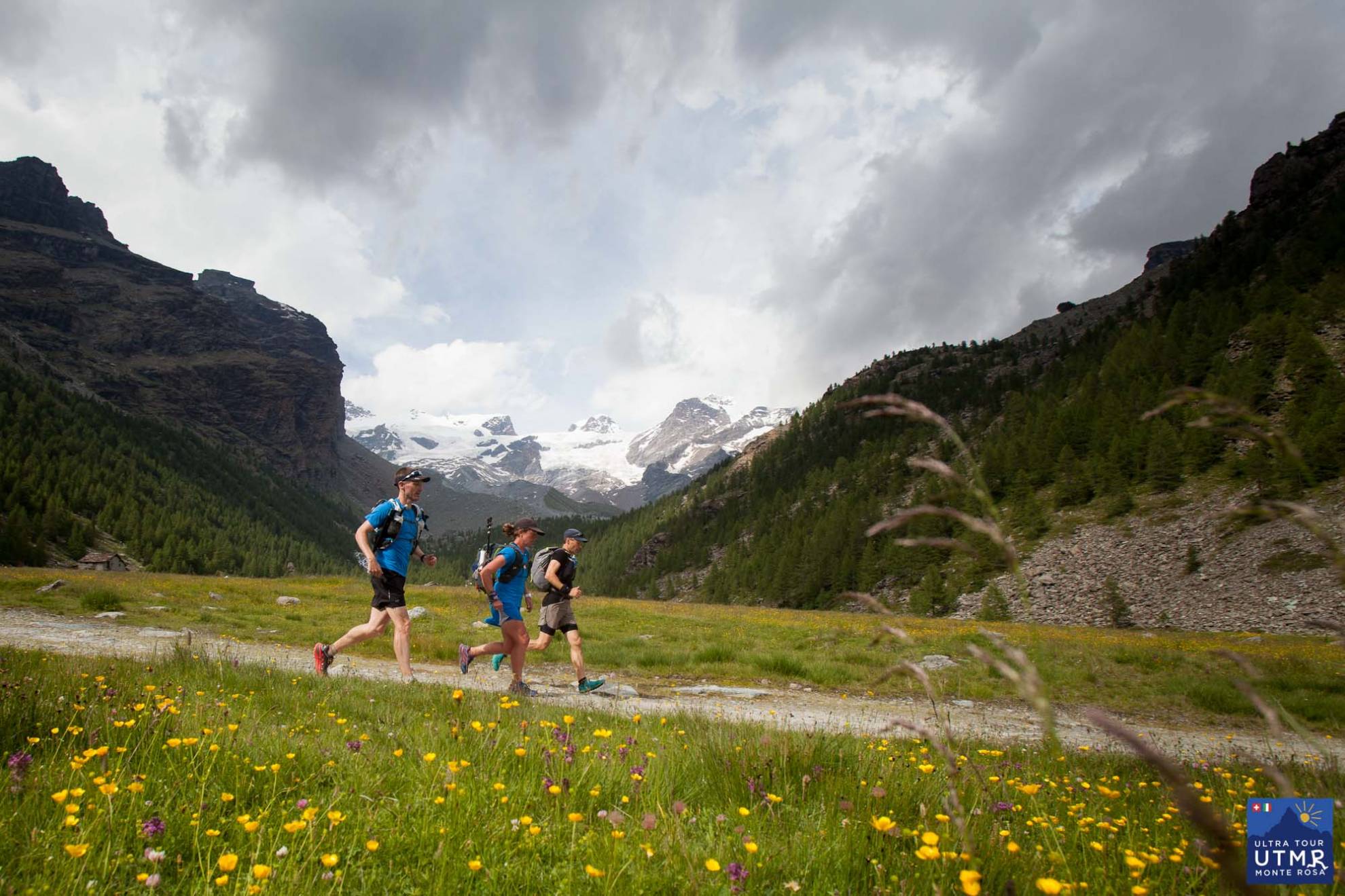
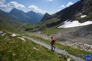
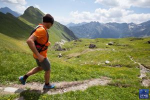
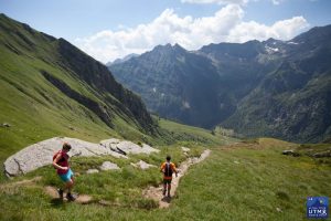
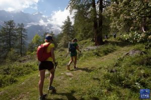
The route follows the Europaweg with fantastic views in clear weather of one of the world’s iconic mountains. More about the first 40km here.
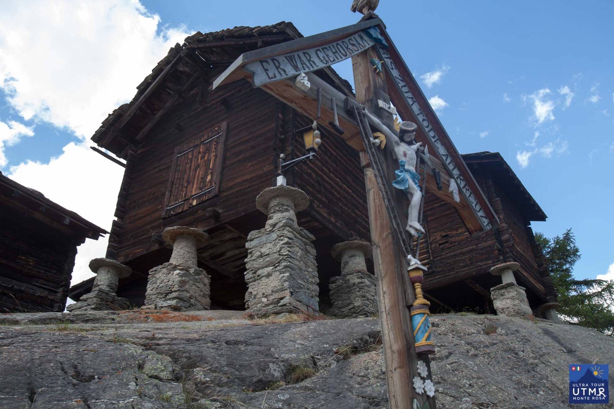
It’s worth mentioning the fantastic stone-carved statue of ogre-kill warrior after the first climb, just 30 metres off of the trail. Hopefully your own legs won’t feel as heavy as rock by then.
The trail is technical and tiring, but you’re rewarded in the last few kilometres with the fast the descent into Zermatt – a really enjoyable section with the pine needle covered forest trails.


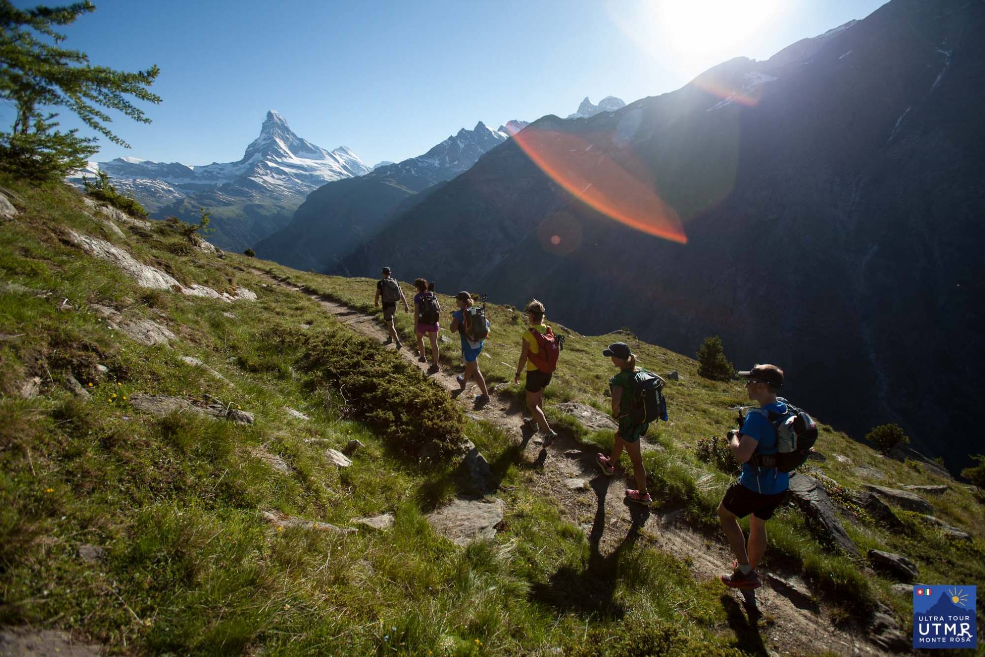
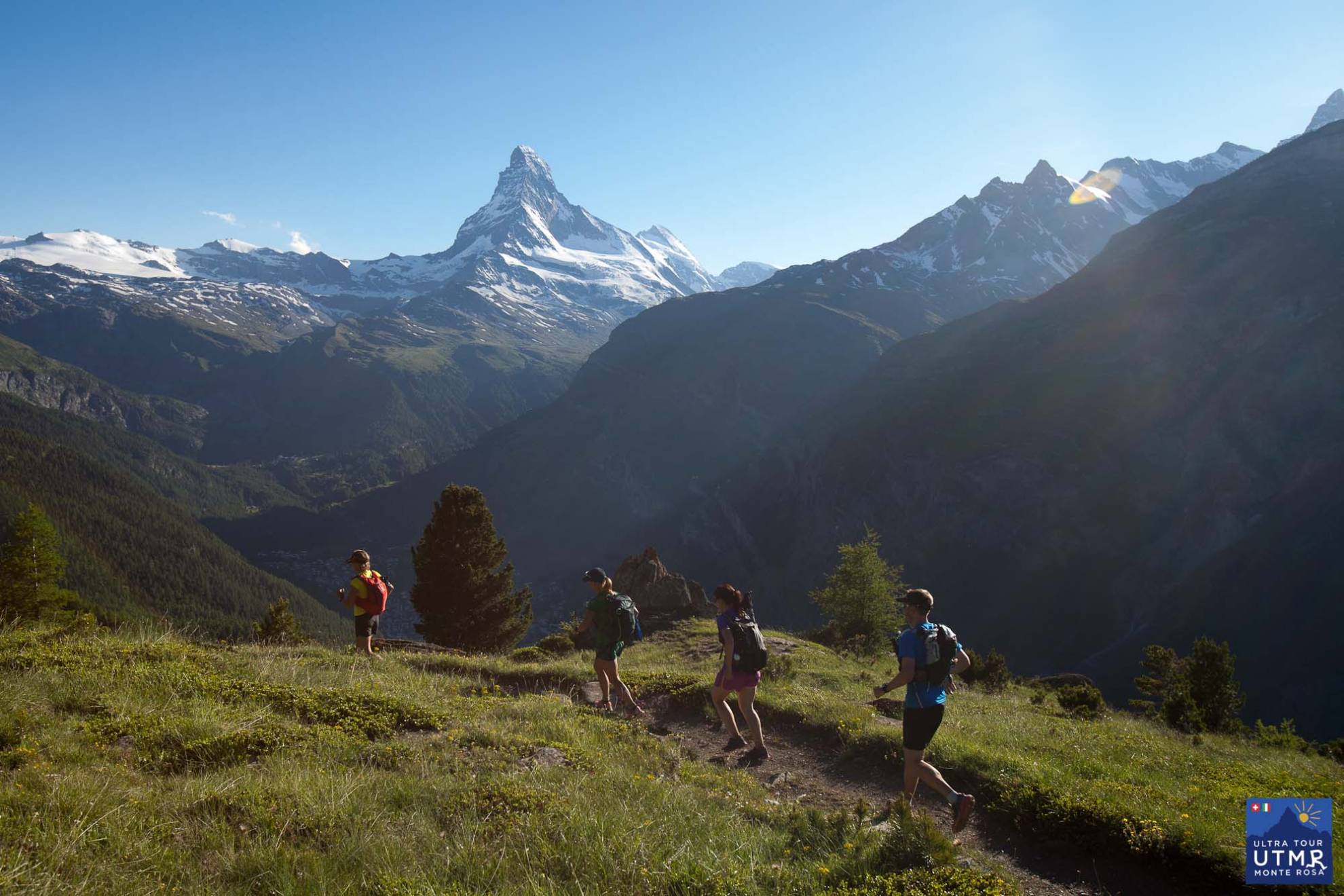
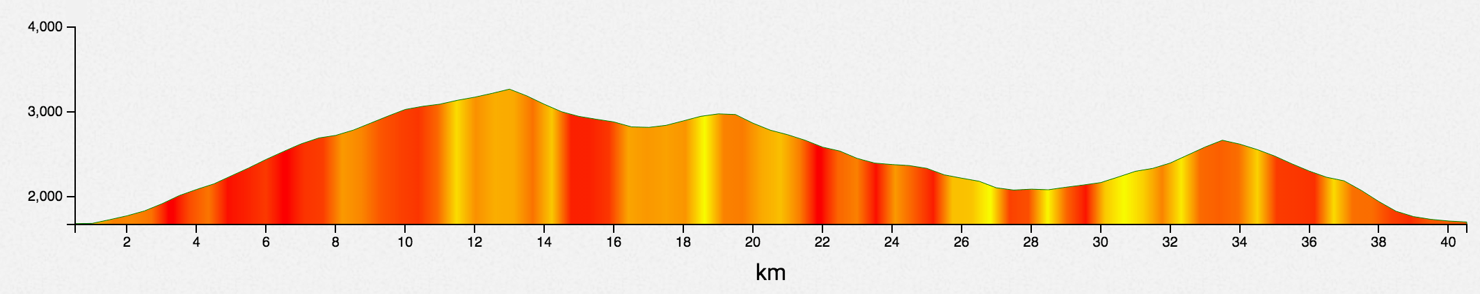
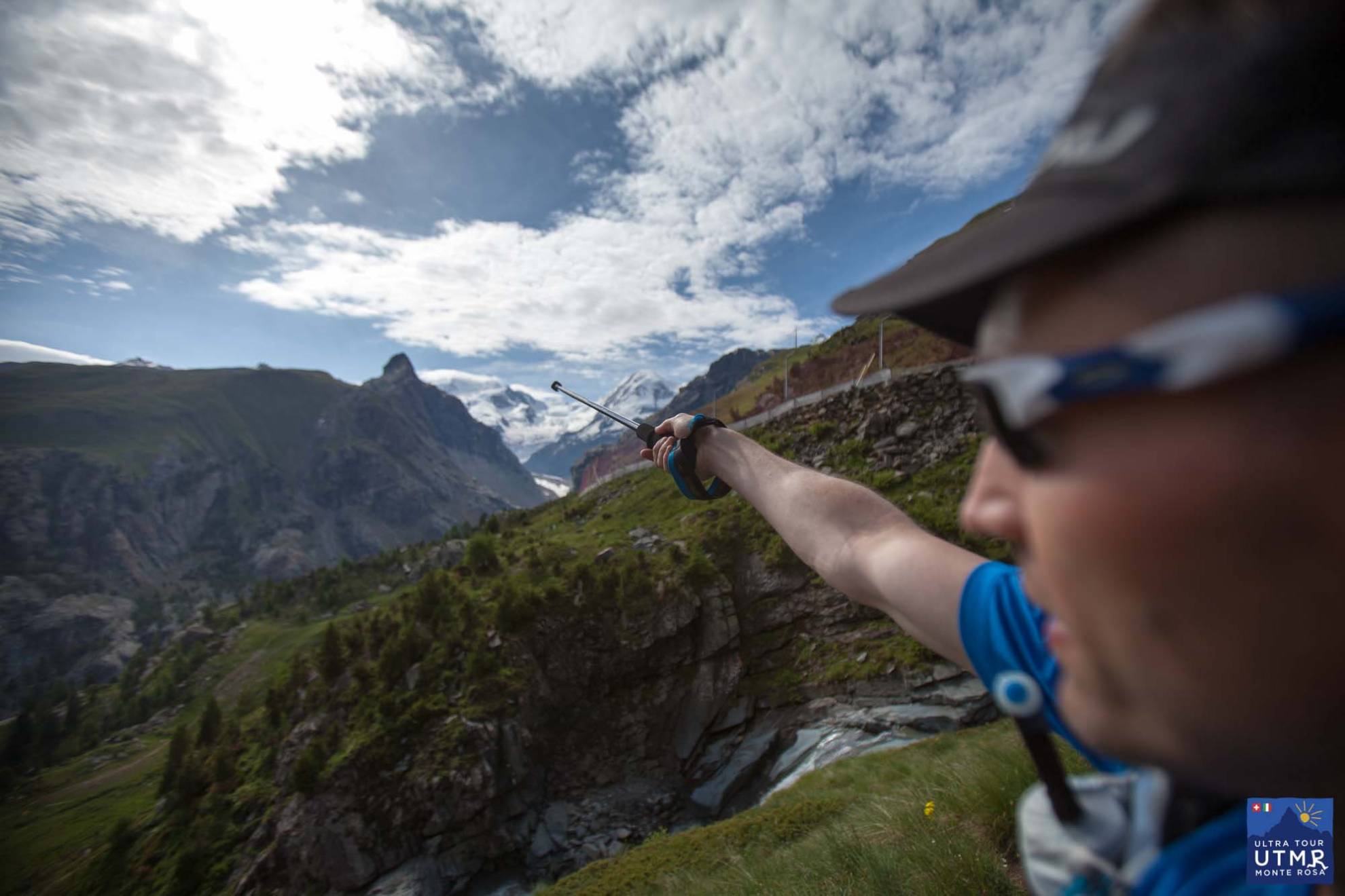
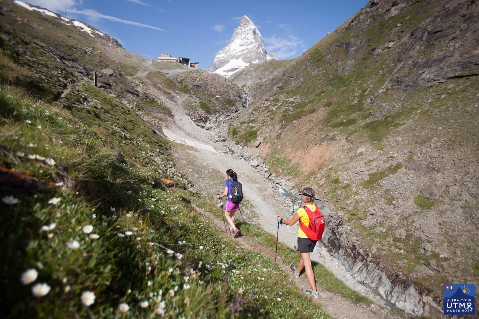
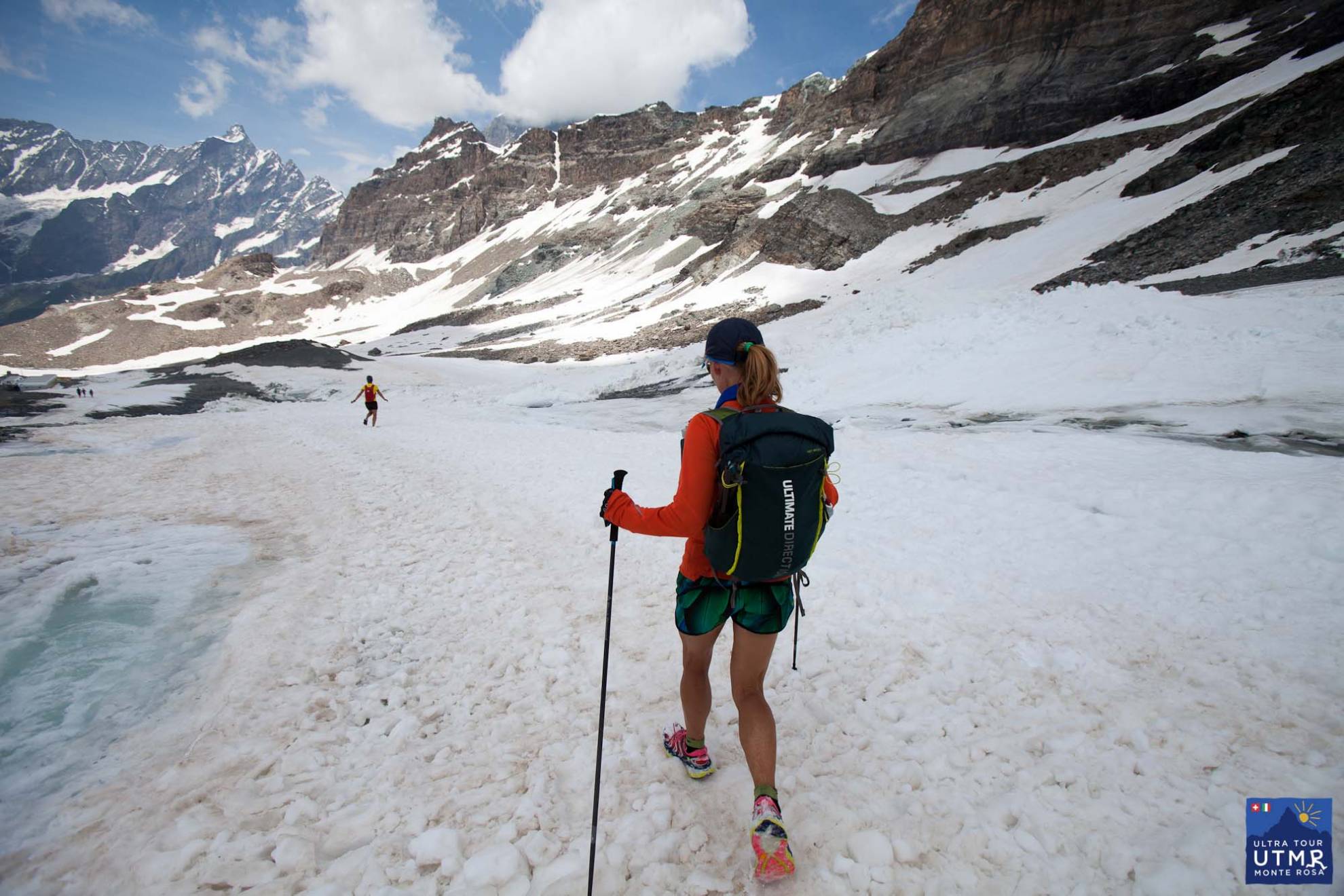
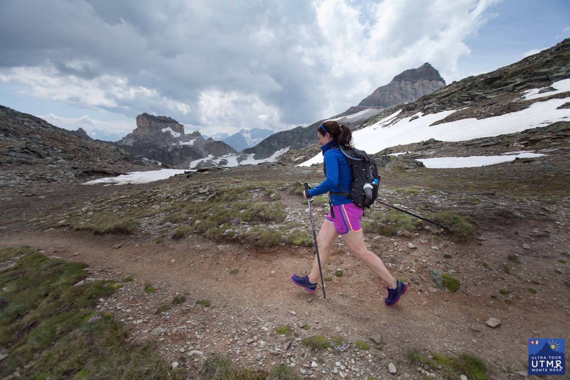
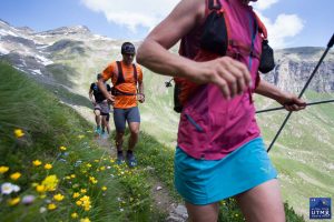
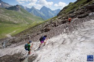
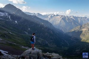
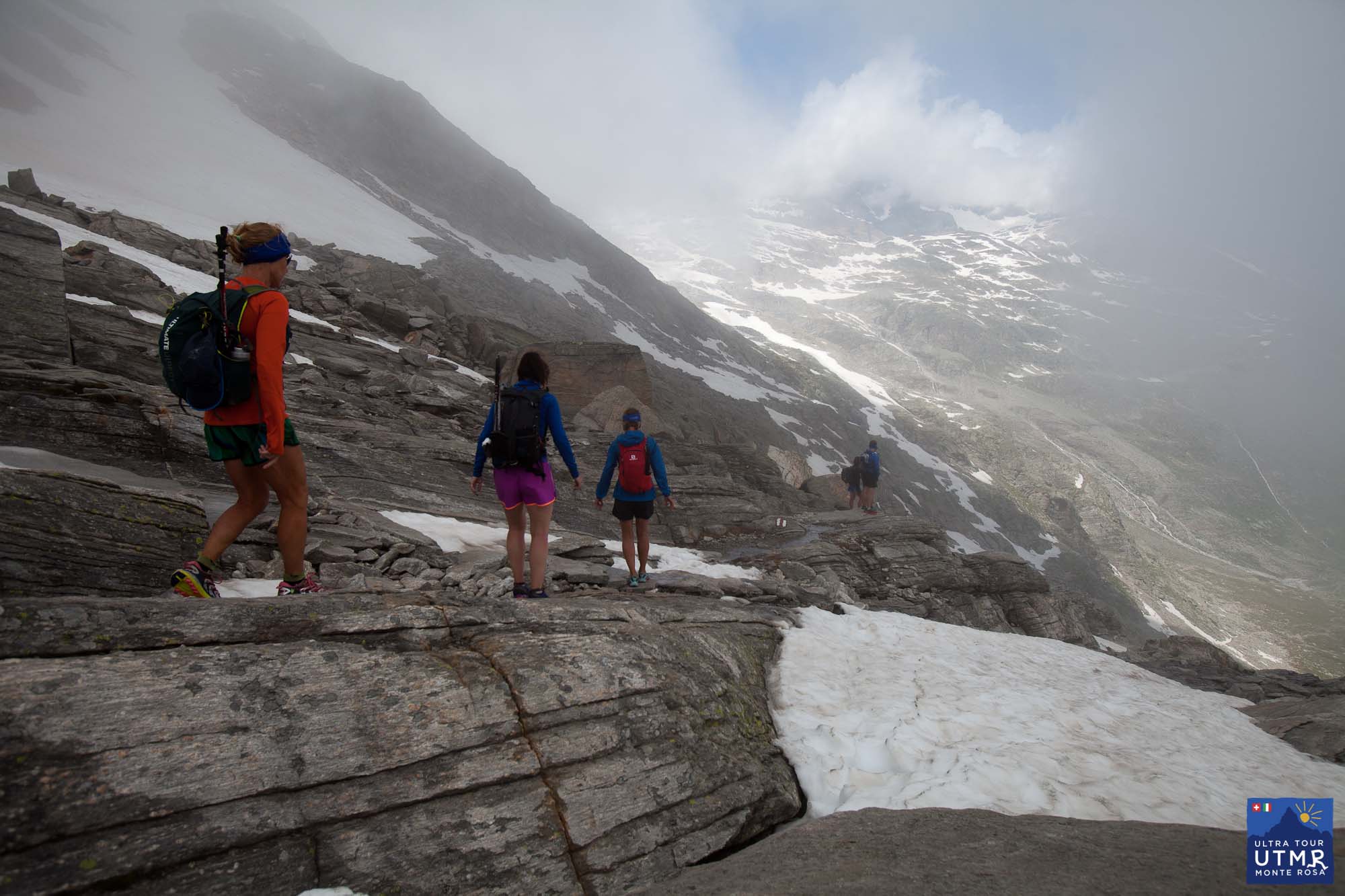
Leaving Zermatt, there is a long climb to 3300m, the highest point on the route, Theodul pass. This comes close to the Matterhorn and you have fantastic views towards it and back down to Zermatt and the whole valley (in clear weather).
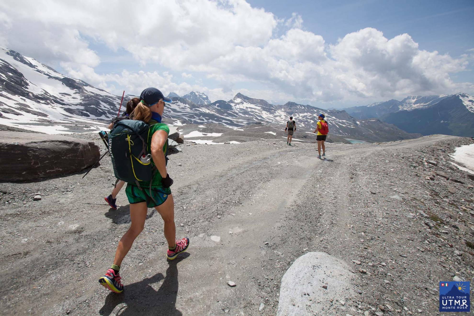
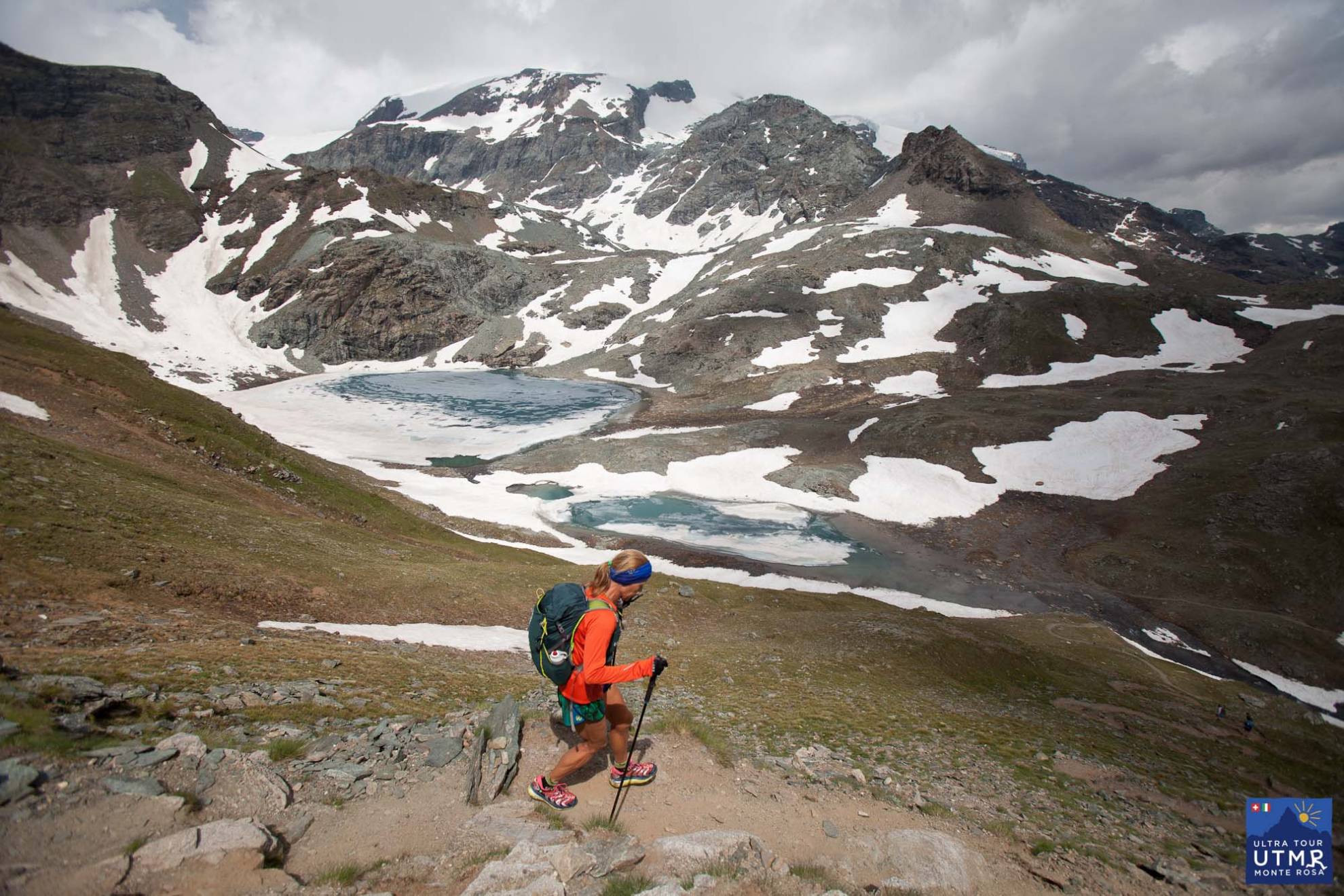
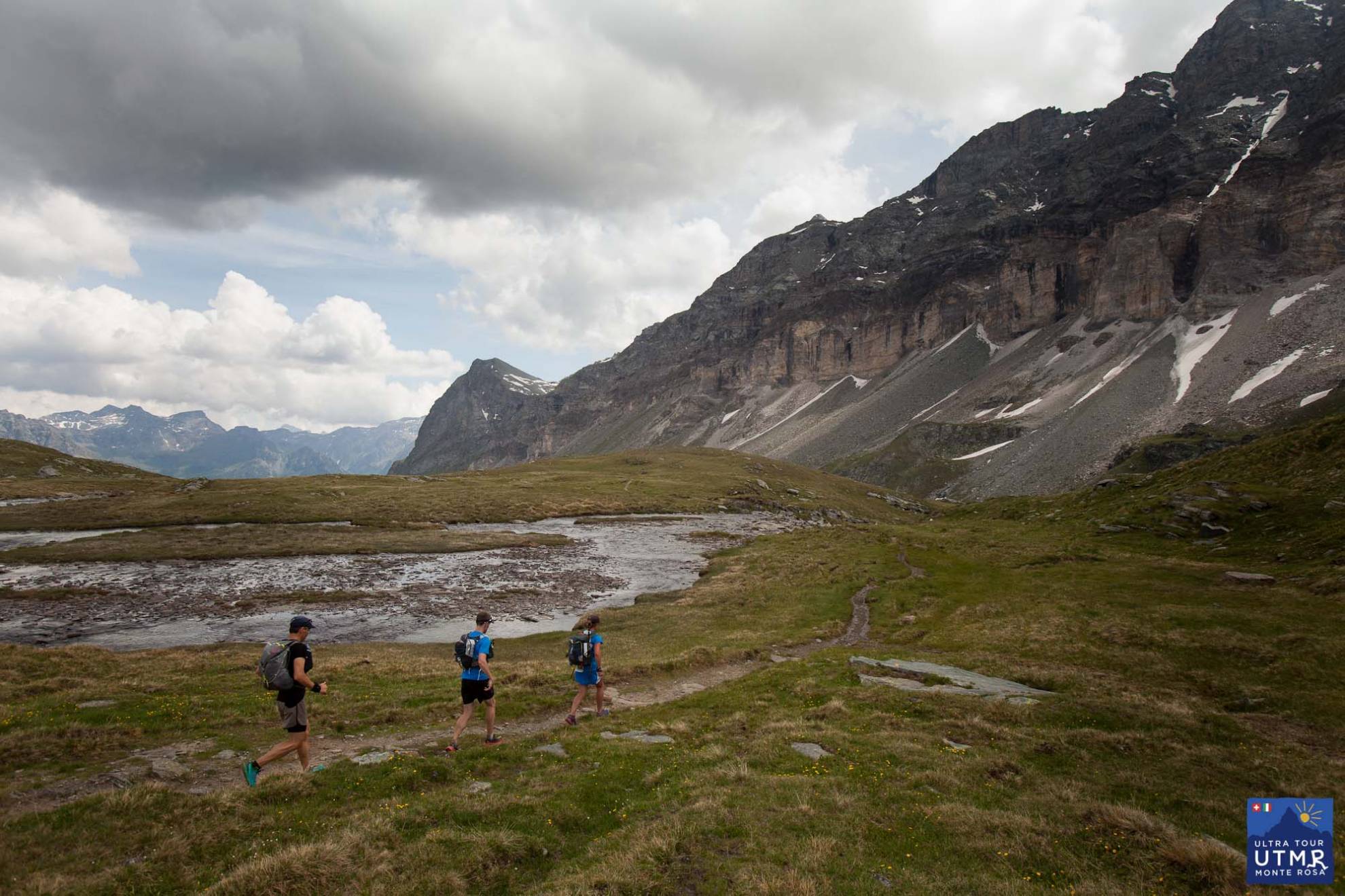
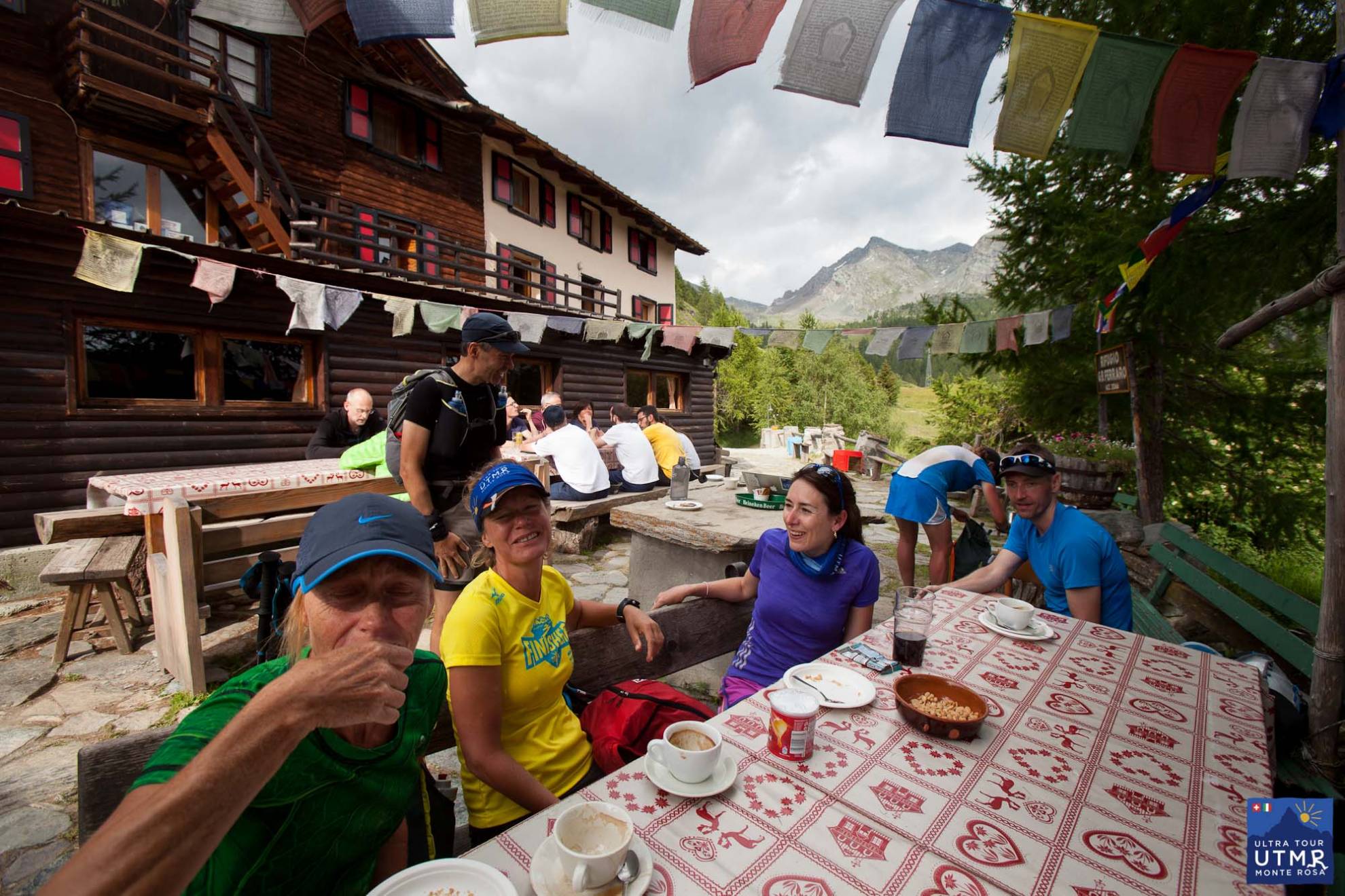
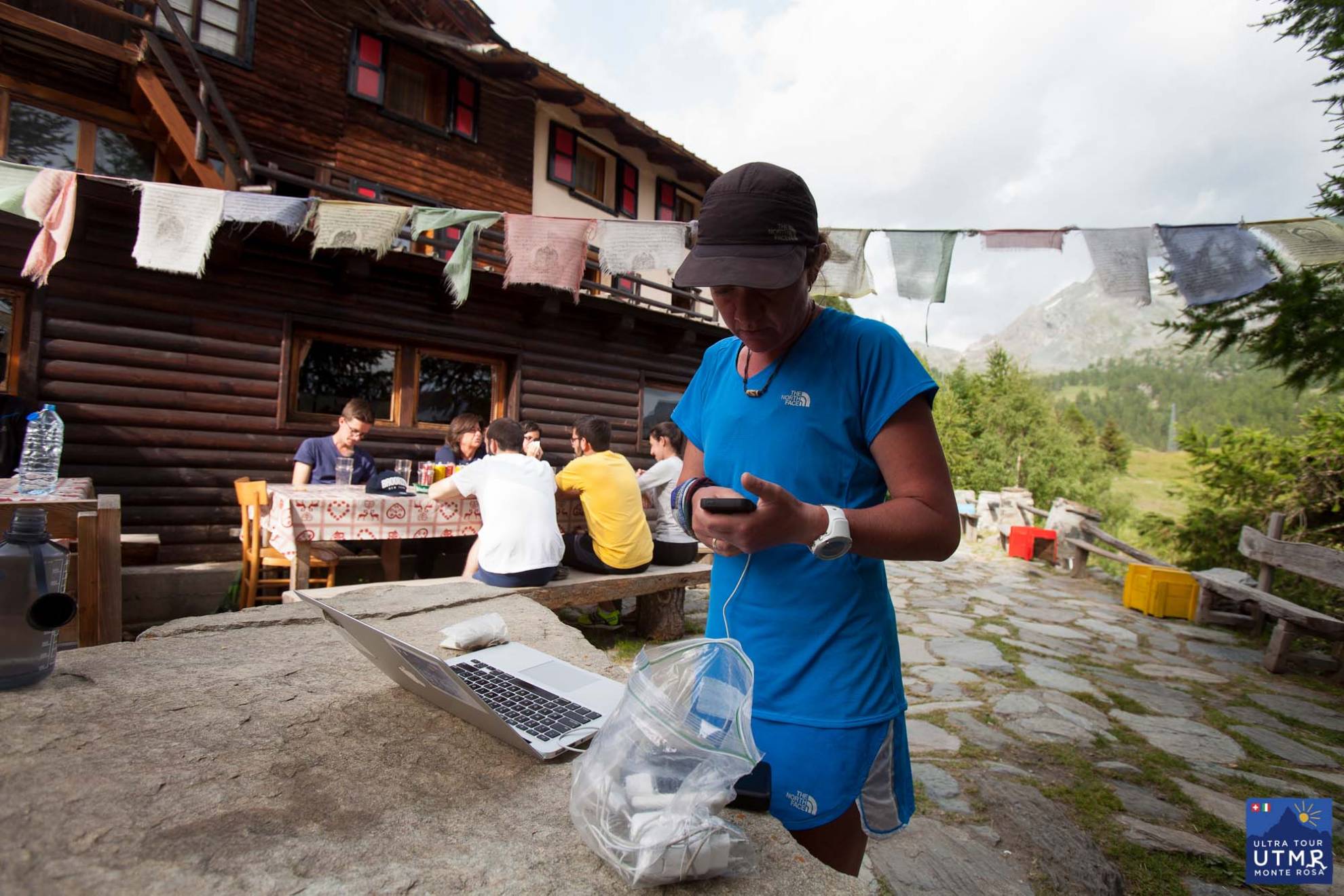
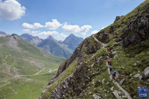
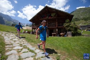
A small steady descent to the Lago Cime Bianchi (and a checkpoint) before a climb to Passo Cime Bianchi, and a steady descent to Rifugio Ferraro for an amazing feed. A last steady climb to the wild Passo di Rothorn, before the descent to Gressoney-la-Trinité.
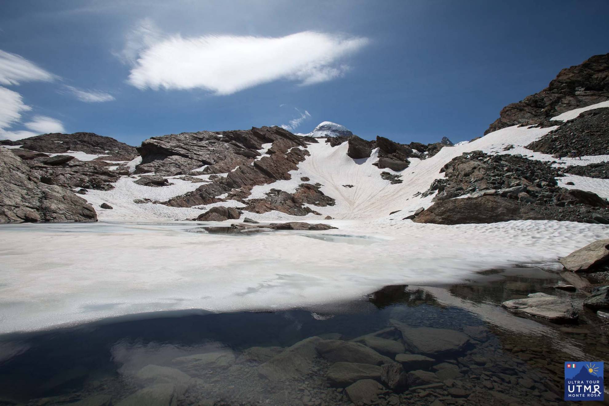
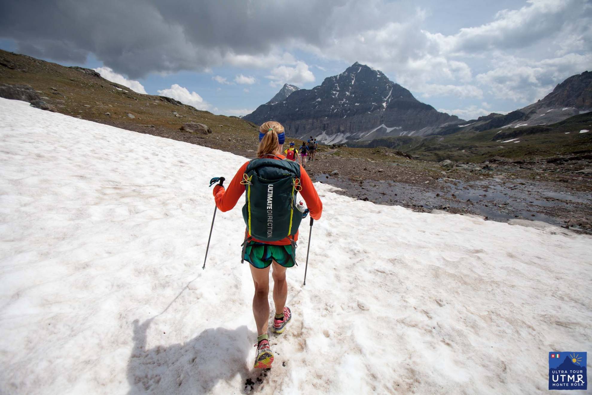
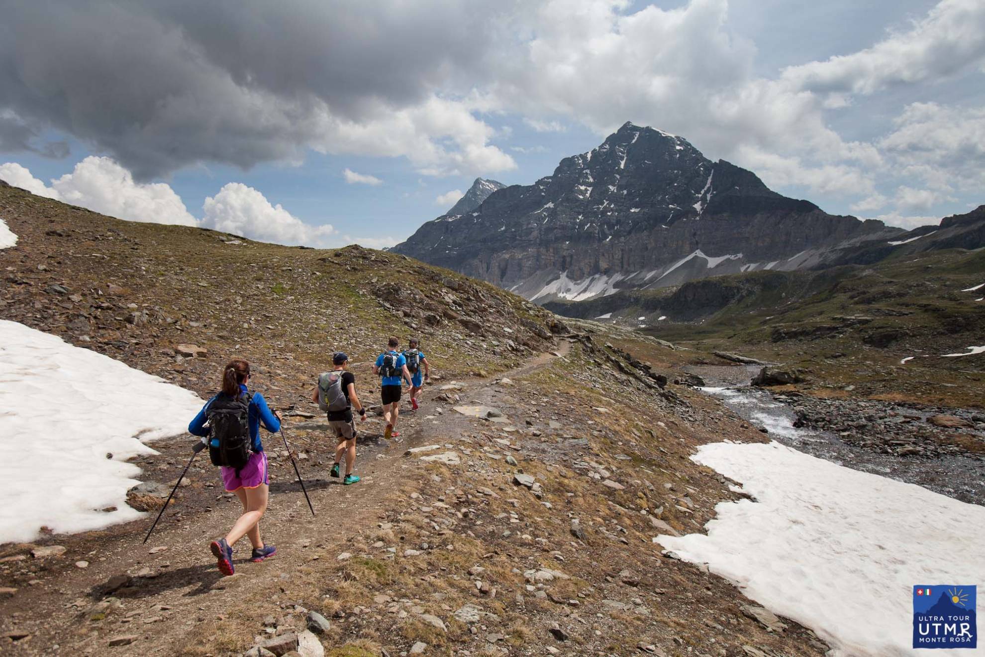
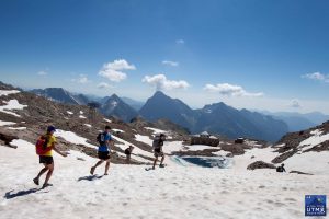
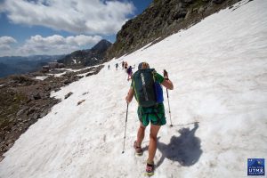
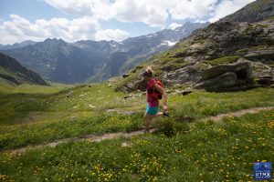
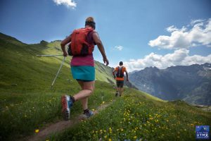
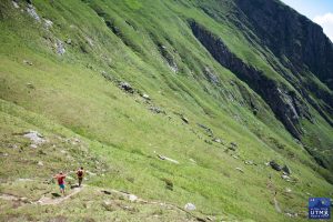
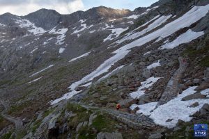
This is probably the easiest terrain of the four days, with lots of trail and path. In September there will be much less snow than appears in these pictures taken in July.
43.23 km +3679, -3995
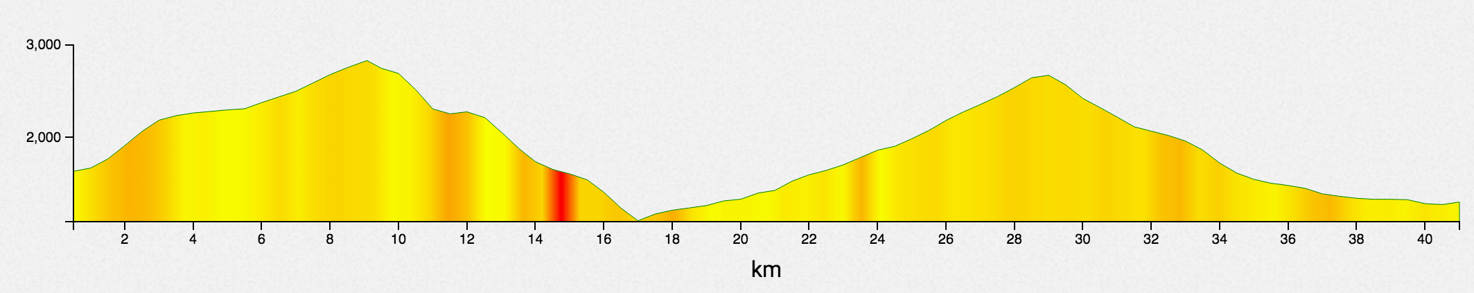
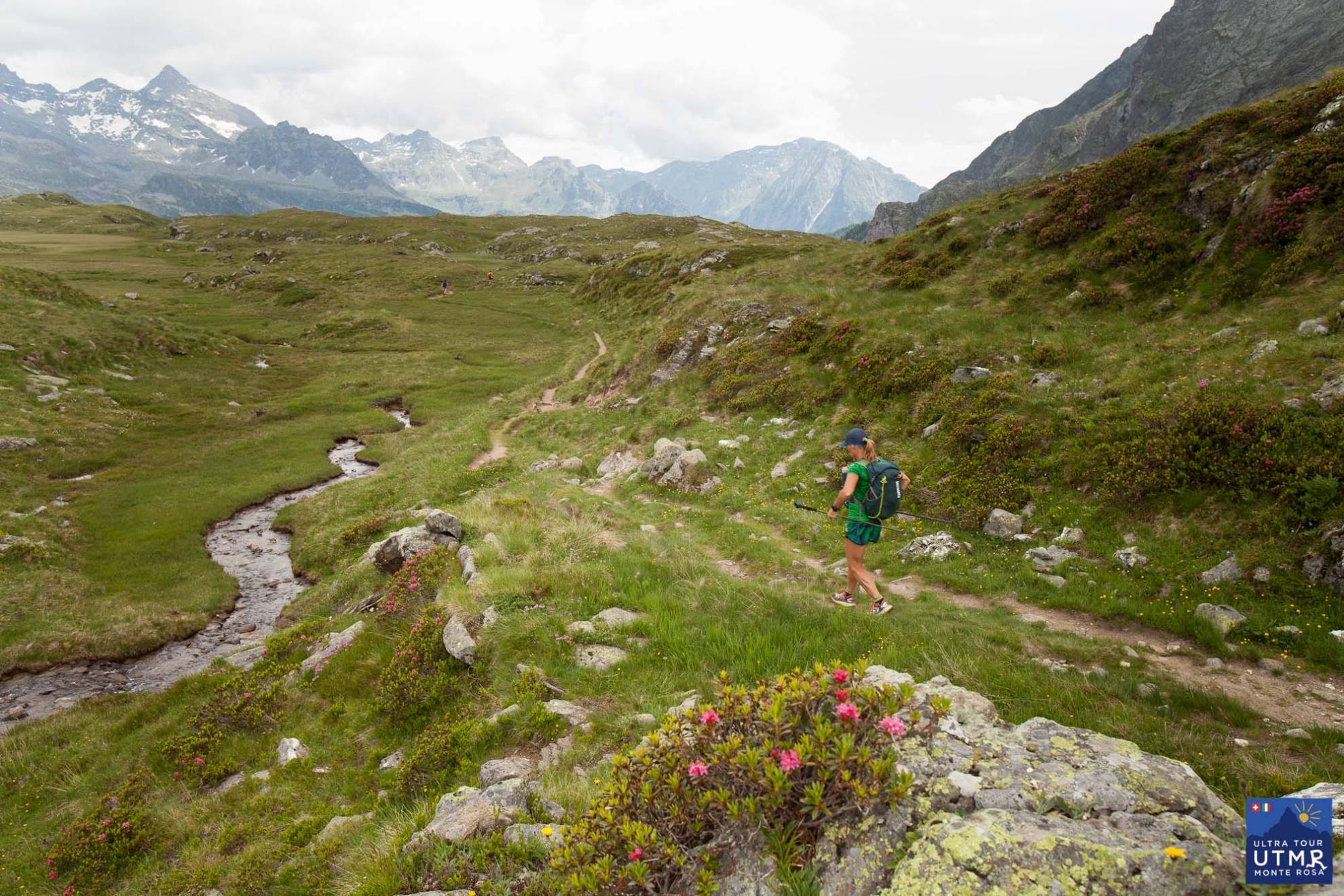
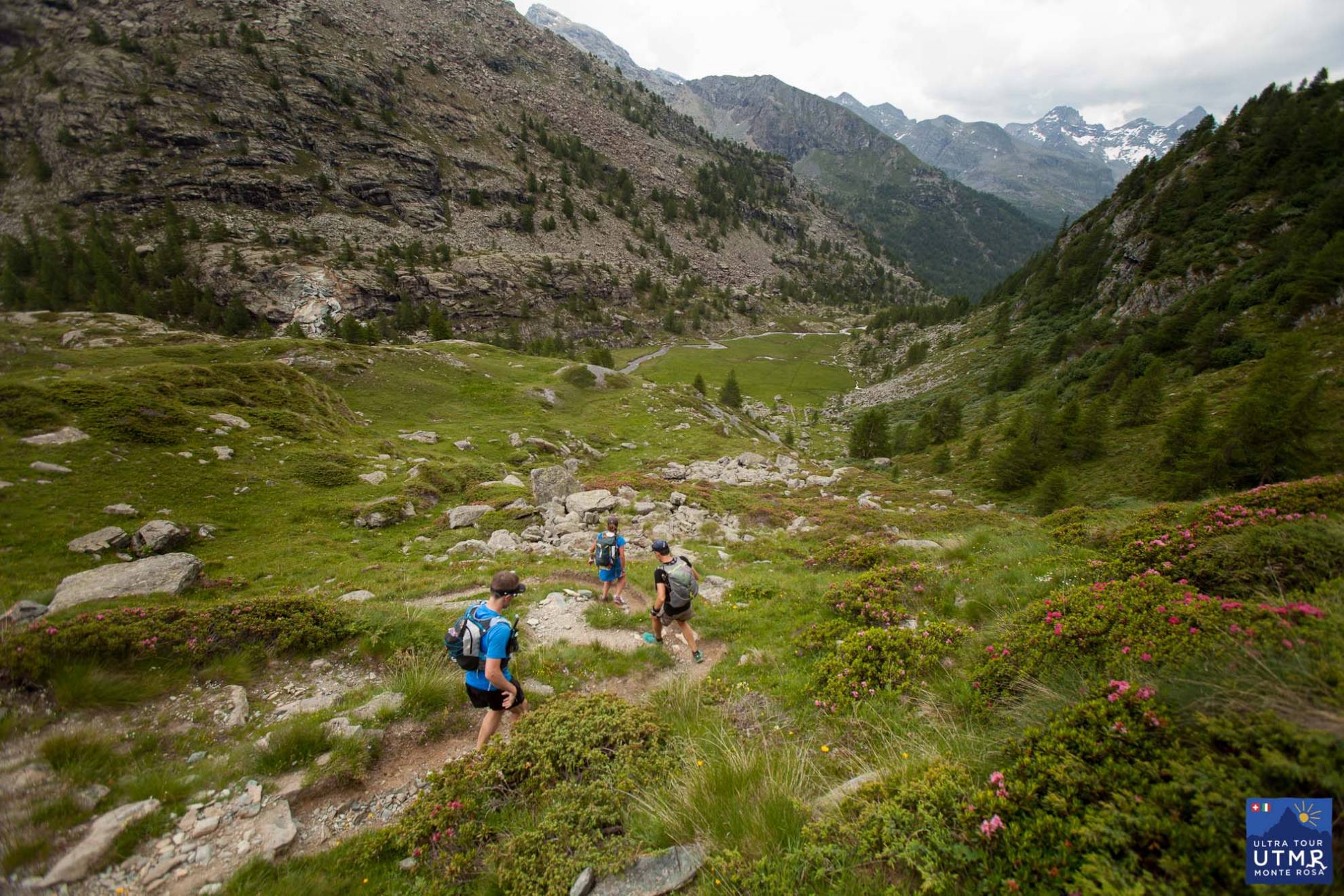
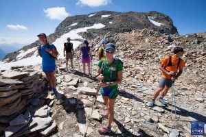
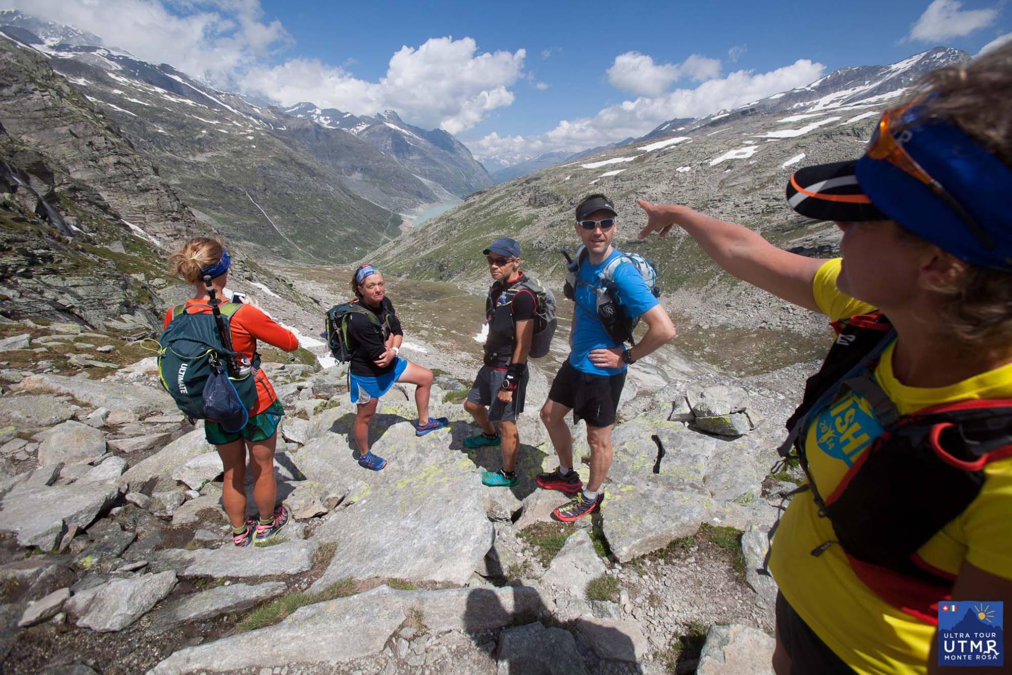
Two major climbs in this stage. The first to Passo dei Salati, a steady climb with checkpoint at the pass. Here you have a good chance to see sturdy-horned, shiny-coated Chamois / Ibex here. If you don’t see one, there is a alive-looking statue at the pass.
There is a fabulous, wild run down to Alagna, and an aid station with great food. Leaving Alagna, there is an easy 4km on tracks before a steep climb to a rifugio (spring water). From there a long wild section: a long climb to Colle del Turlo (2700m) and down to Quarazza (CP) and 4km further to Macugnaga. This pass is a medieval road, rebuilt during war time. A trail made from blocks of stone make the ascent easier (easy angled, but longer) and the descent difficult requiring focus until reaching the valley bottom.
44.67 km D+2844, D-2518
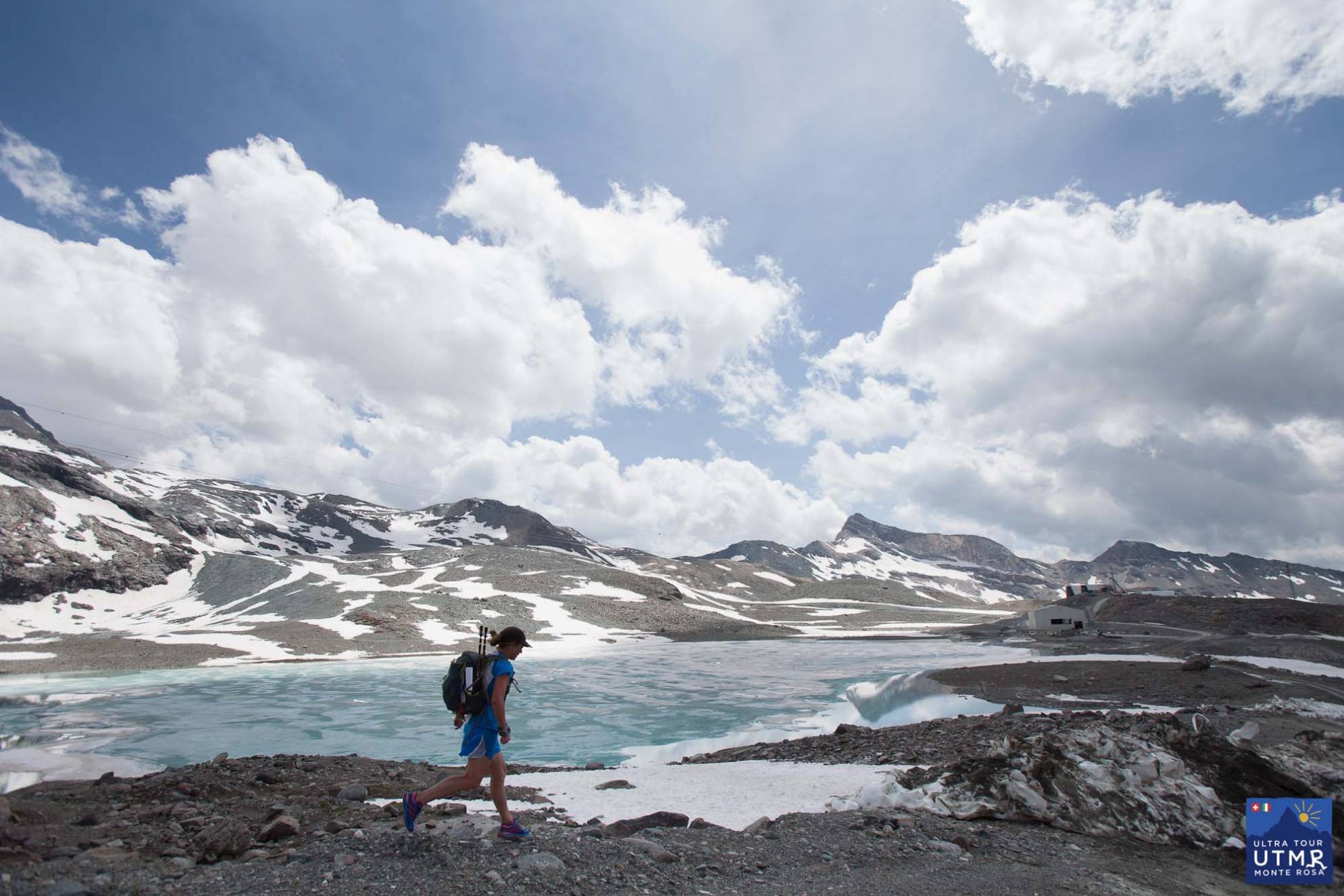
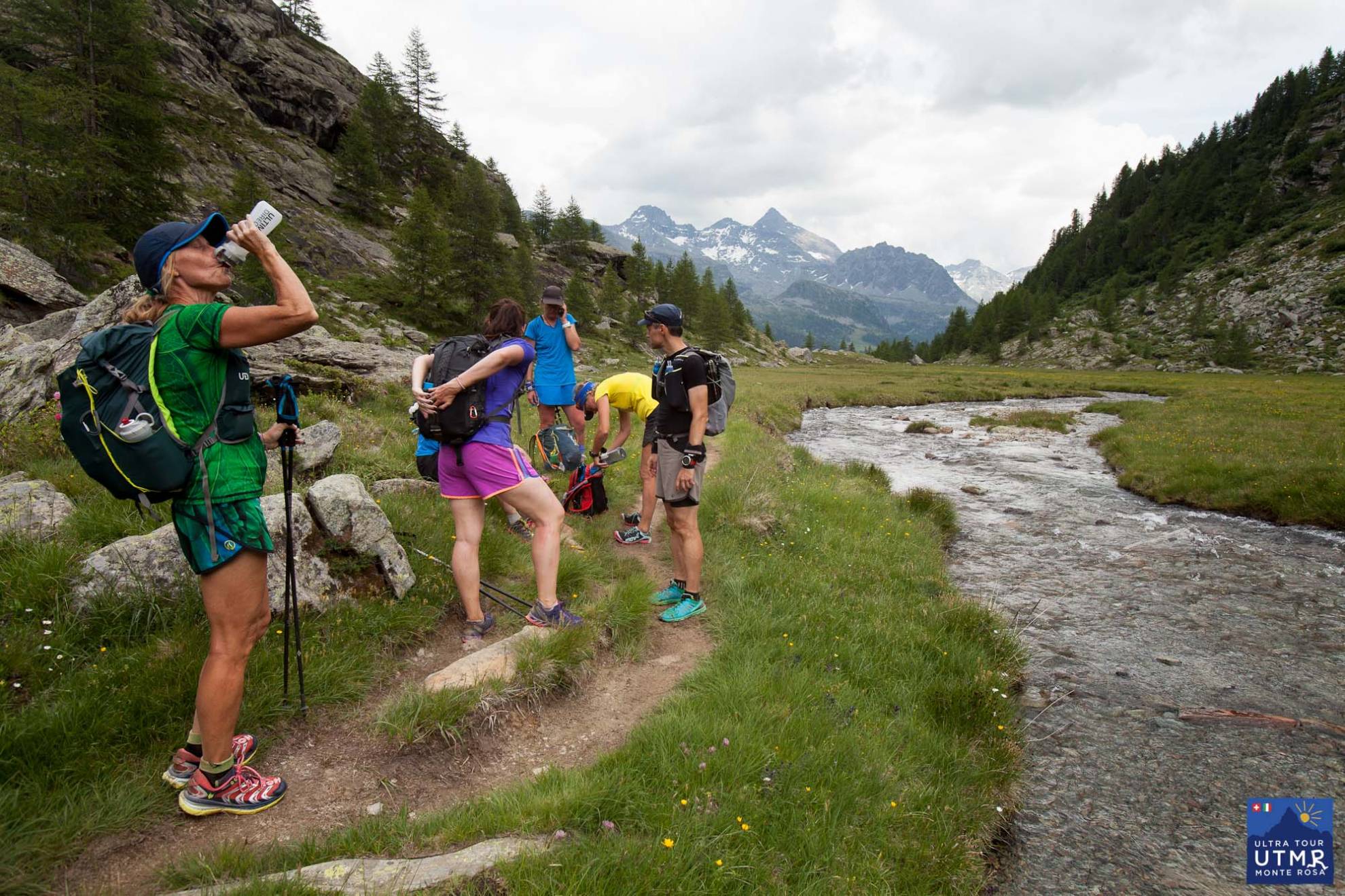
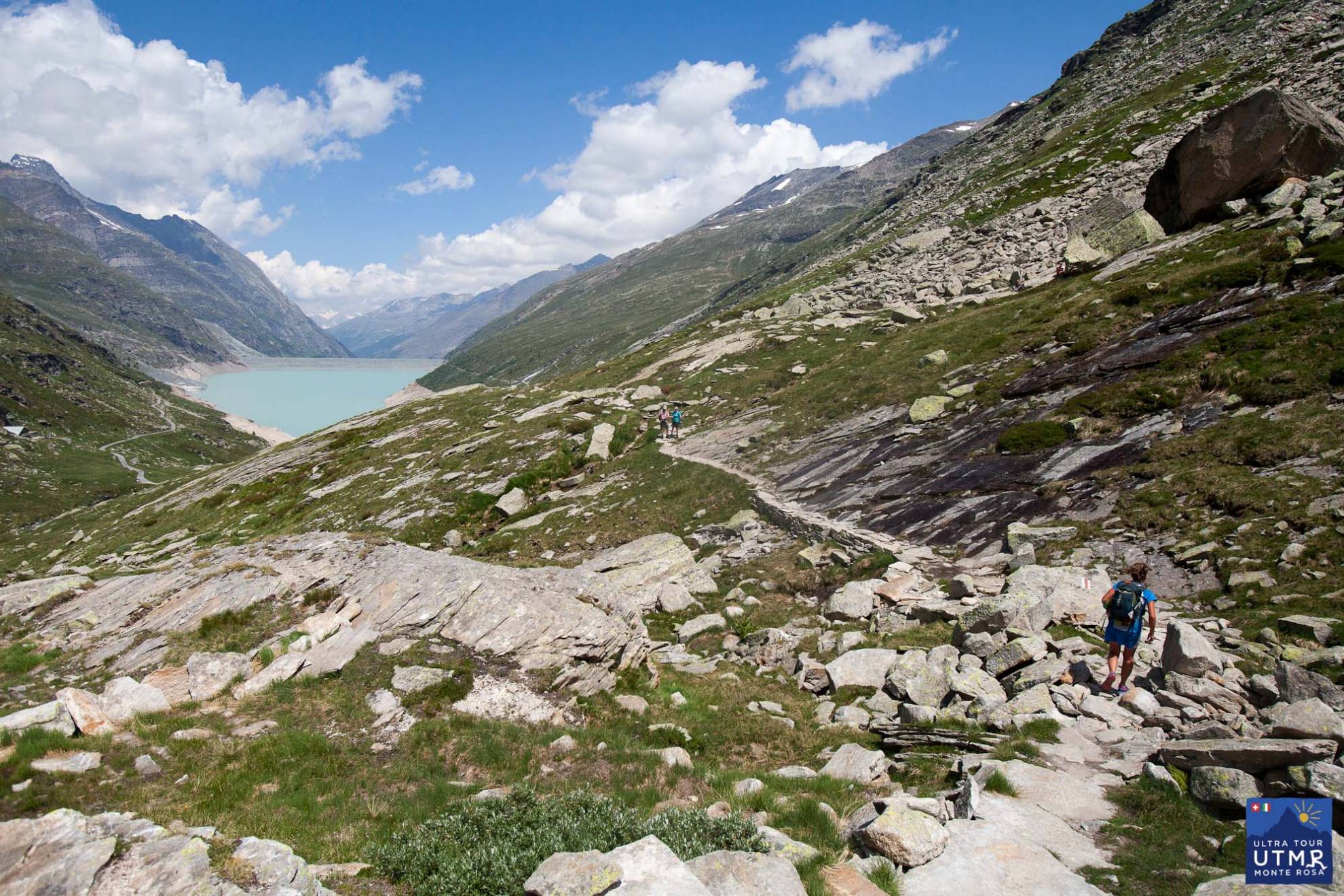
After a steep climb to Passo Monte Moro, with incredible views to the Monte Rosa massif, a long descent (technical at first) into the Saas Valley. The reservoir is a major landmark and gives a kilometre of flat, relaxed running.
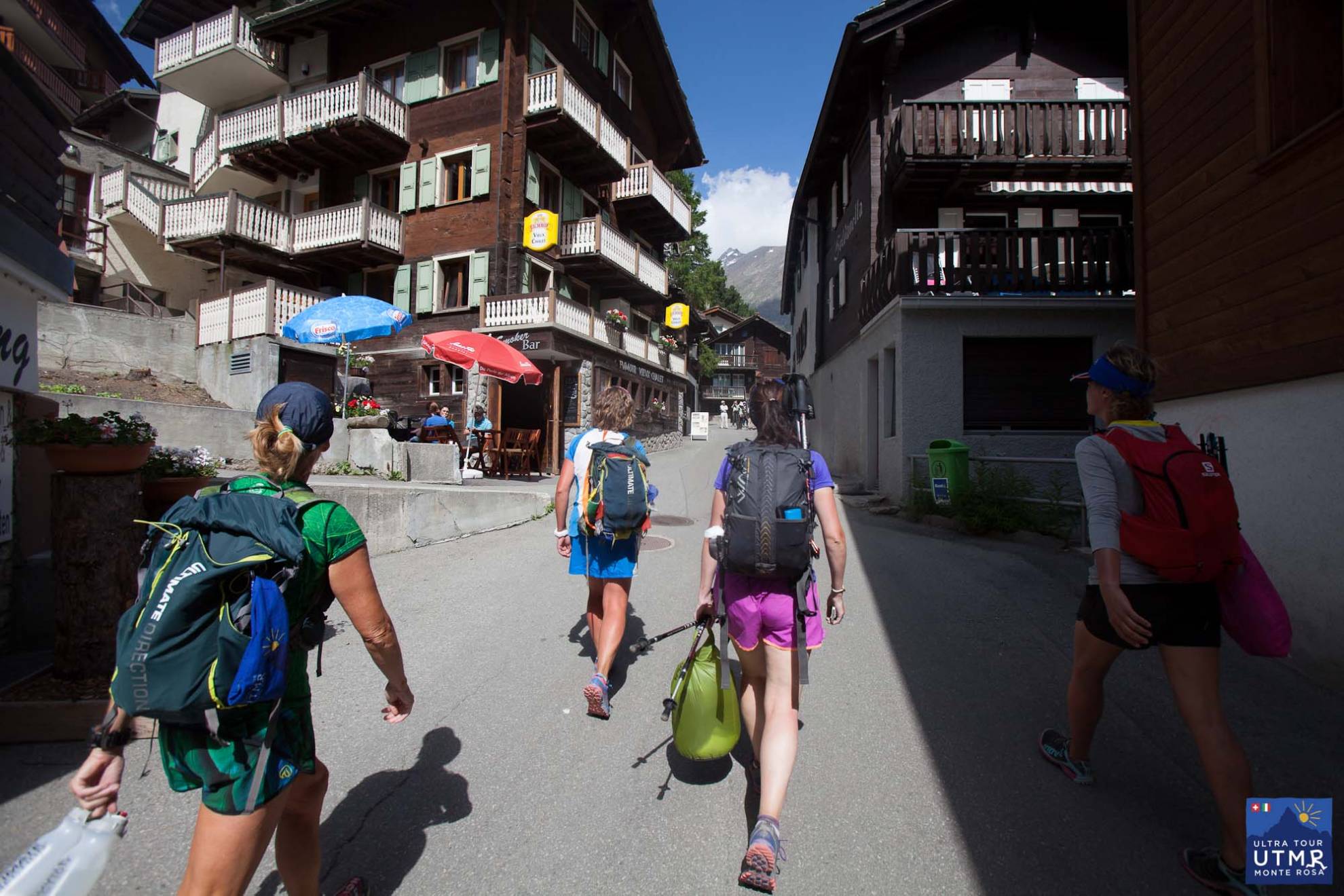
After the reservoir, the final 3-4km to the Saas Almagell is over lots of boulders and extra attention is required to keep to the marked trail. A well stocked checkpoint at Saas Fee gives you a rest before joining the Höhenweg to the Hannigalp checkpoint, and the steep 700m descent to Grächen.
There it is. Far from easy! Follow the progress of the 2016 race on Twitter and join our mailing list via the form below.
(Thanks Fergus Edwards for comments and suggestions.)
Resources:
GPX file: UTMR 2017 gpx file
KML file: UTMR 2017 Google Earth