
Aug 15
<
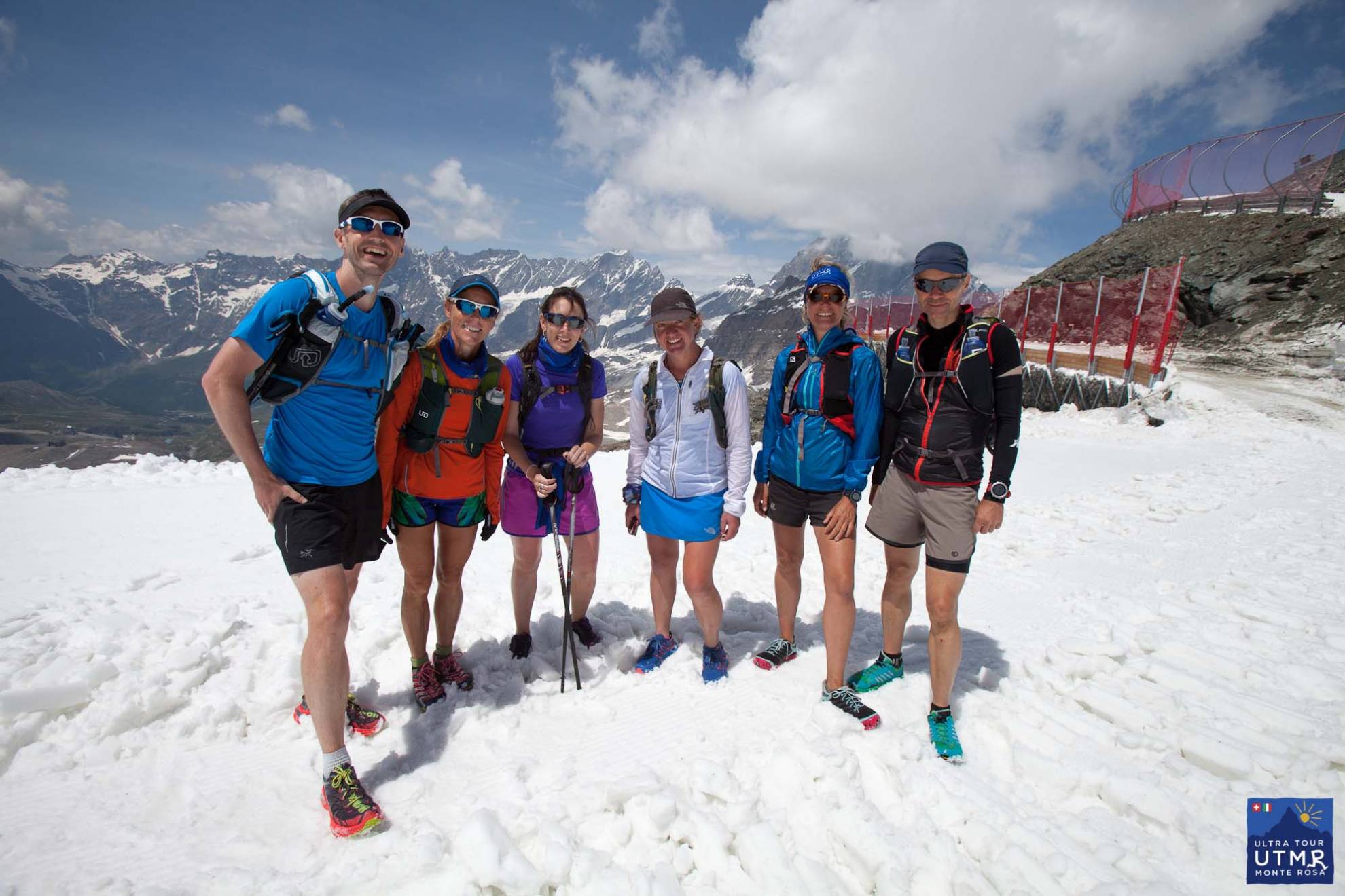
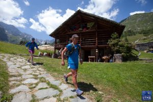
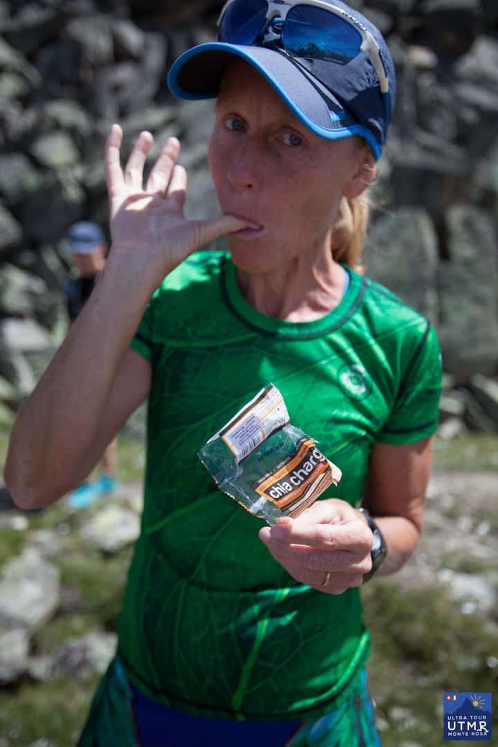
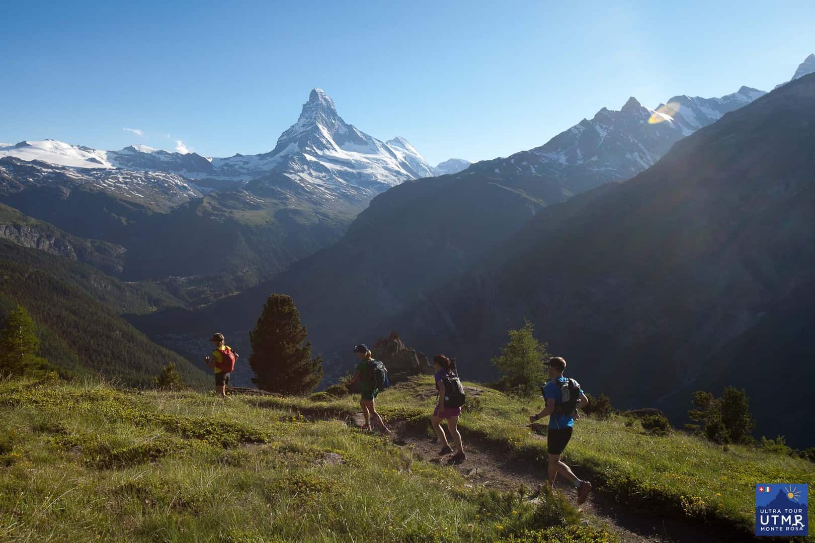
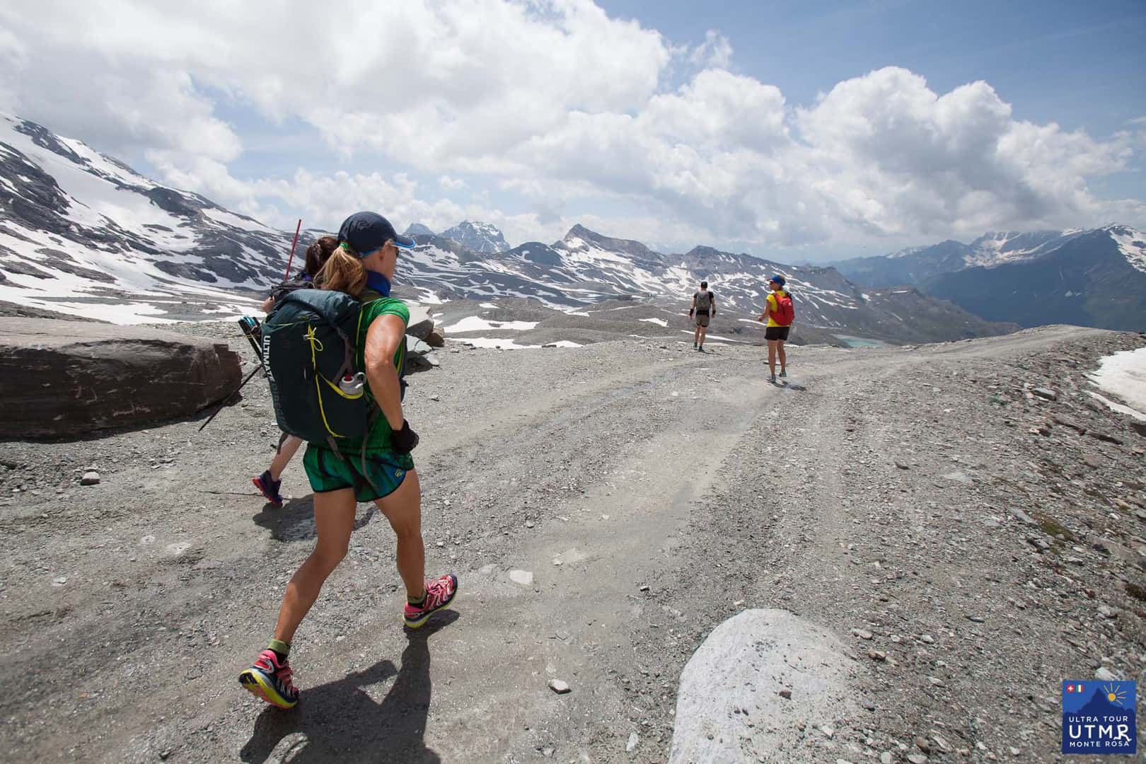
Lizzy Hawker runs training camps around Monte Rosa. These are part UTMR trail familiarisation trips, part running training camps, part trail running instruction from Lizzy, if you ask her nicely. Covering around 170km in four days with some 11,000m of elevation change is a fantastic boost to your training for trail. It’s great preparation for UTMB runners, indeed this was Lizzy’s own training camp for the Ultra-Trail Mont Blanc trail race for many years, though in two days rather than four. (Recently she tested how the full Tour de Monte Rosa route course felt in one continuous run.)
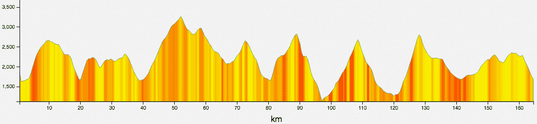
This is the full 2017 route, not split into stages. There will be a four-stage race alongside the ultra.
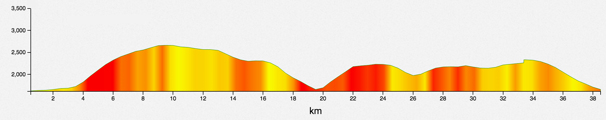
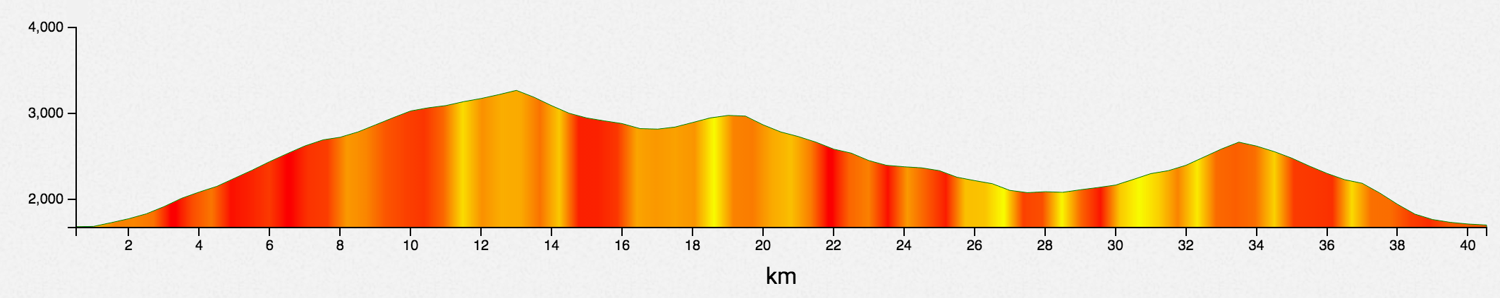
39.5 km D+2554, D-2538
The route follows the Europaweg with fantastic views in clear weather of one of the world’s iconic mountains. More about the first 40km here.
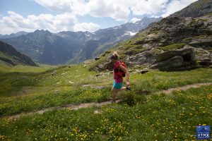
It’s worth mentioning the fantastic stone-carved statue of ogre-kill warrior after the first climb, just 30 metres off of the trail. Hopefully your own legs won’t feel as heavy as rock by then.
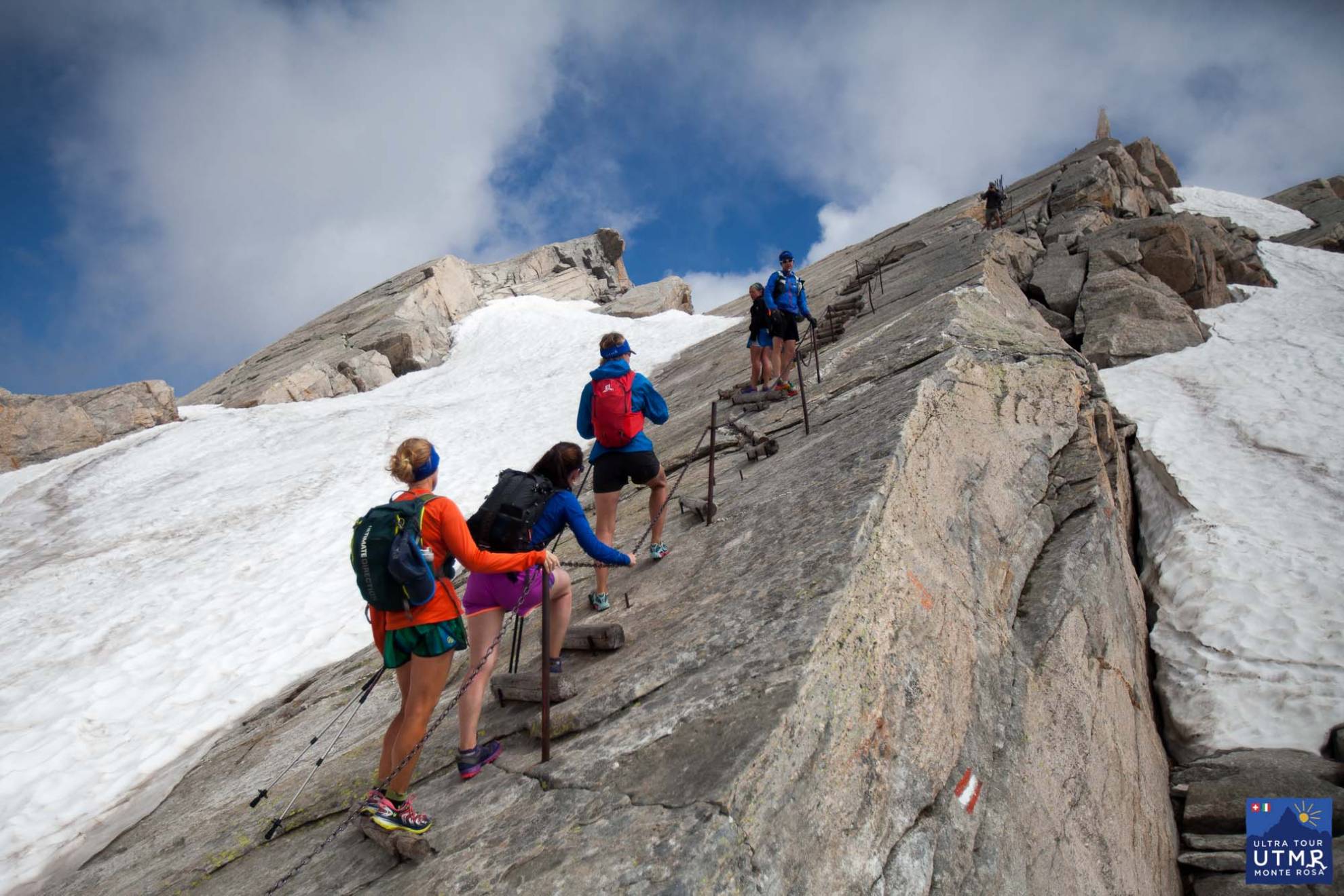
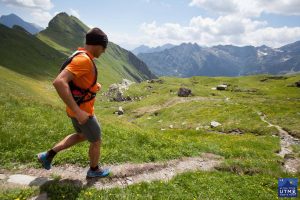
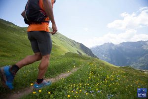
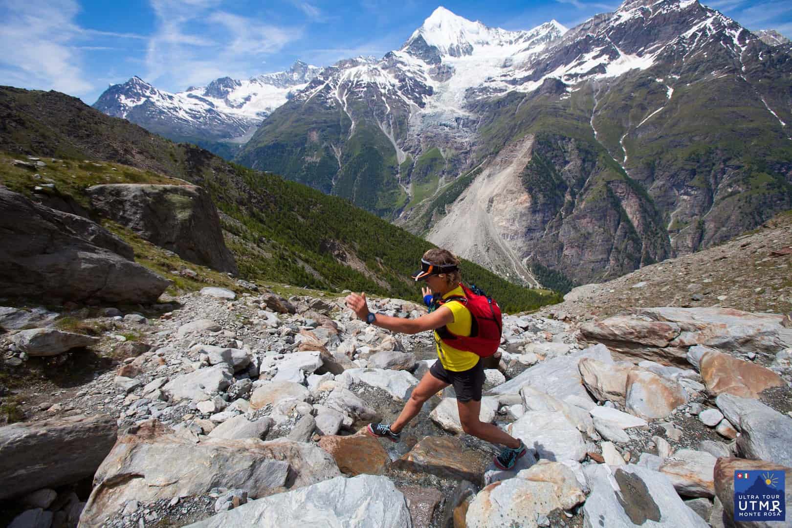
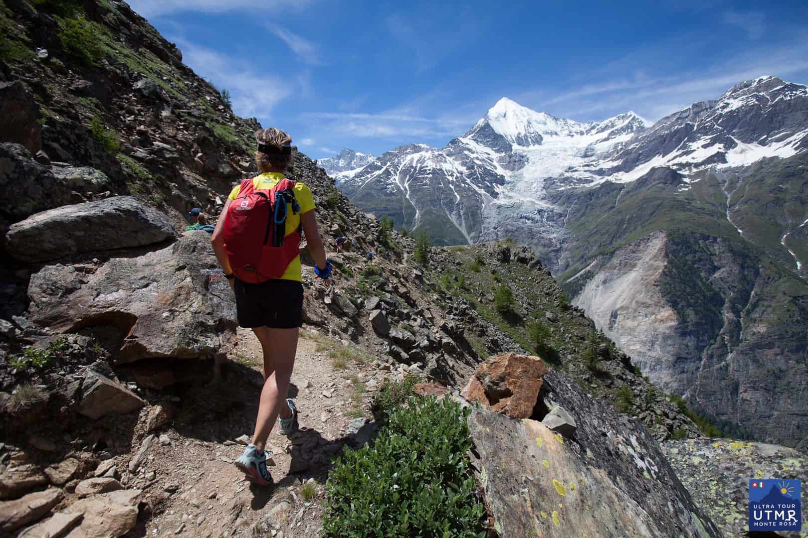
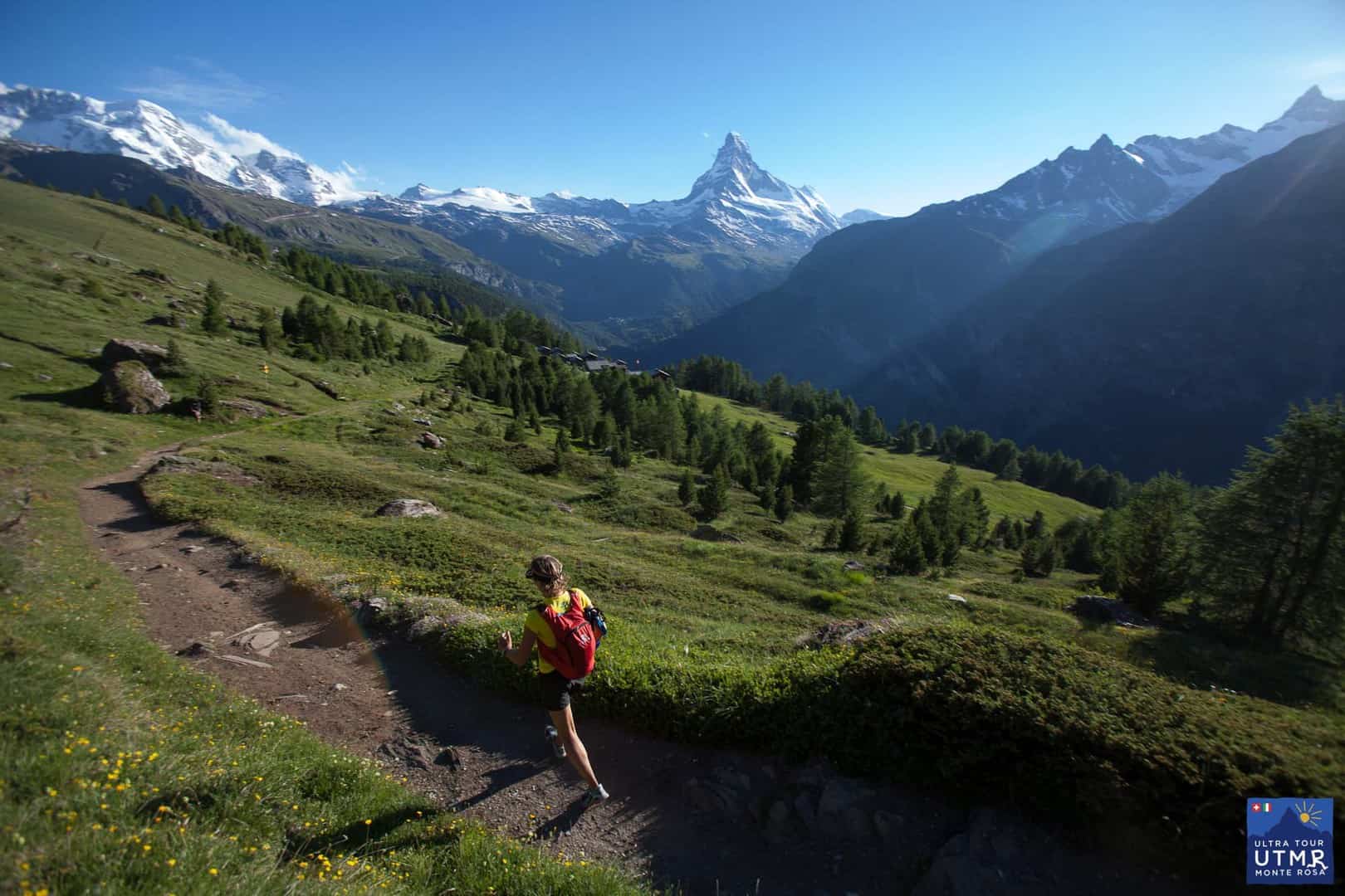
The trail is technical and tiring, but you’re rewarded in the last few kilometres with the fast the descent into Zermatt – a really enjoyable section with the pine needle covered forest trails.


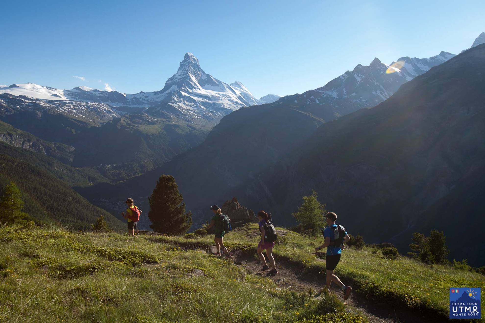
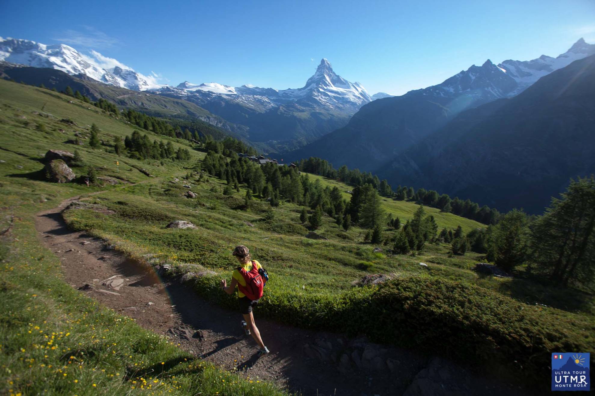

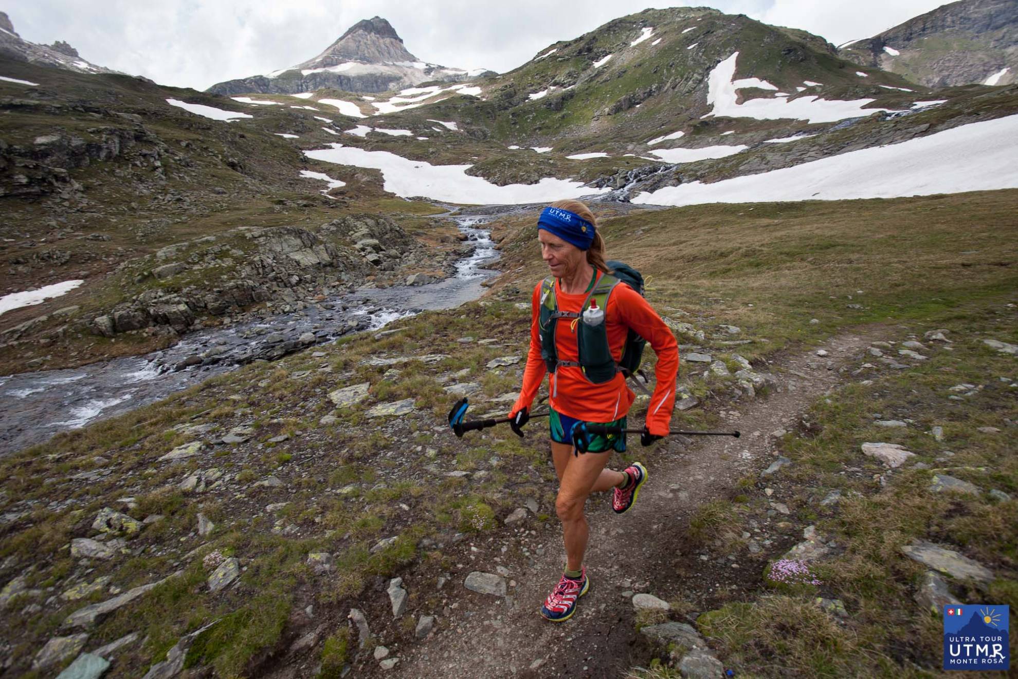
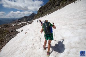
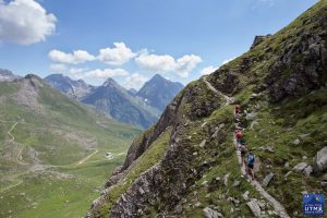
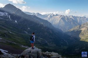
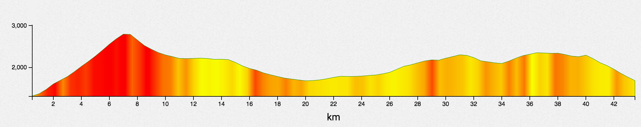
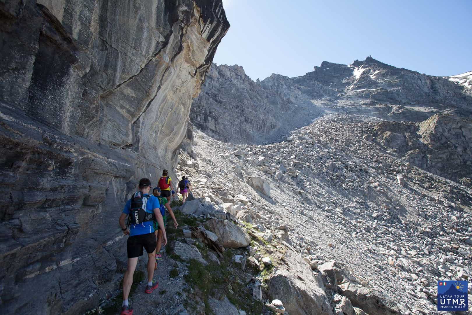
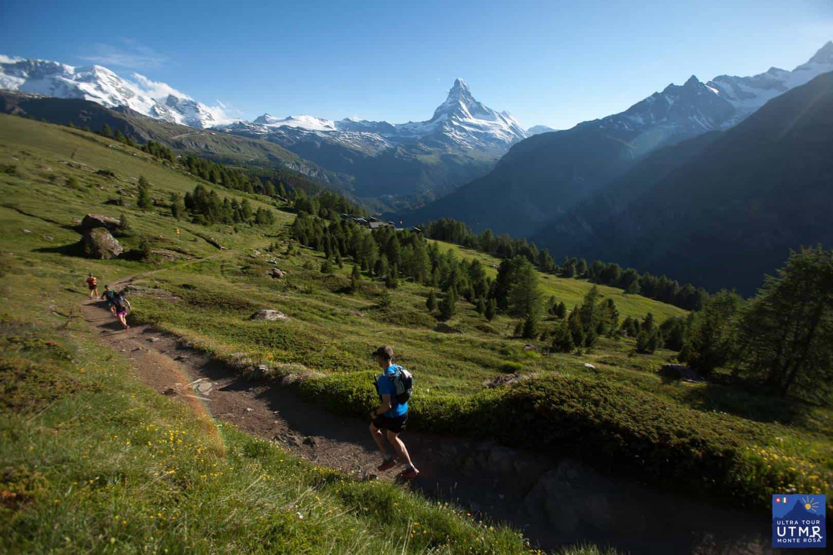
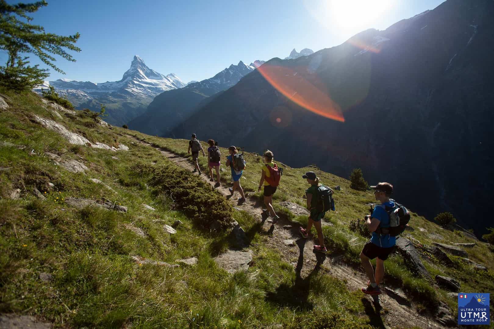
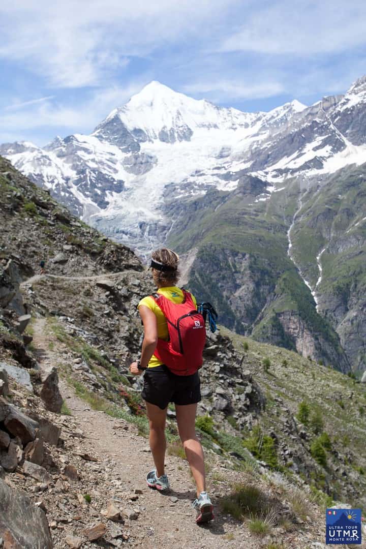
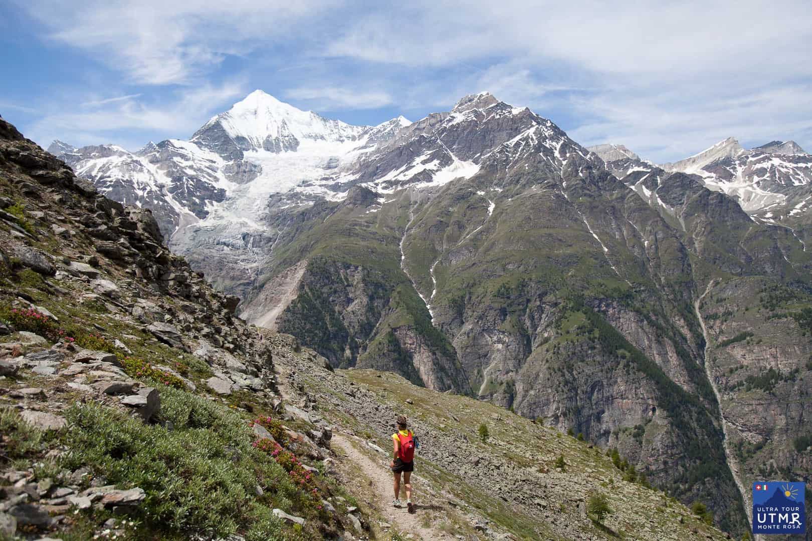
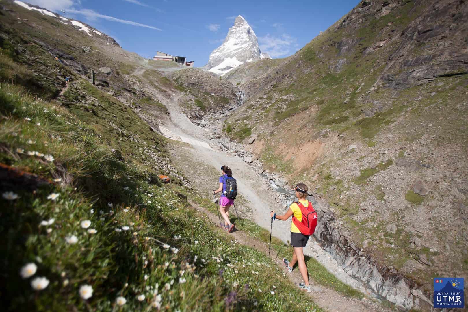
Leaving Zermatt, there is a long climb to 3300m, the highest point on the route, Theodul pass. This comes close to the Matterhorn and you have fantastic views towards it and back down to Zermatt and the whole valley (in clear weather).
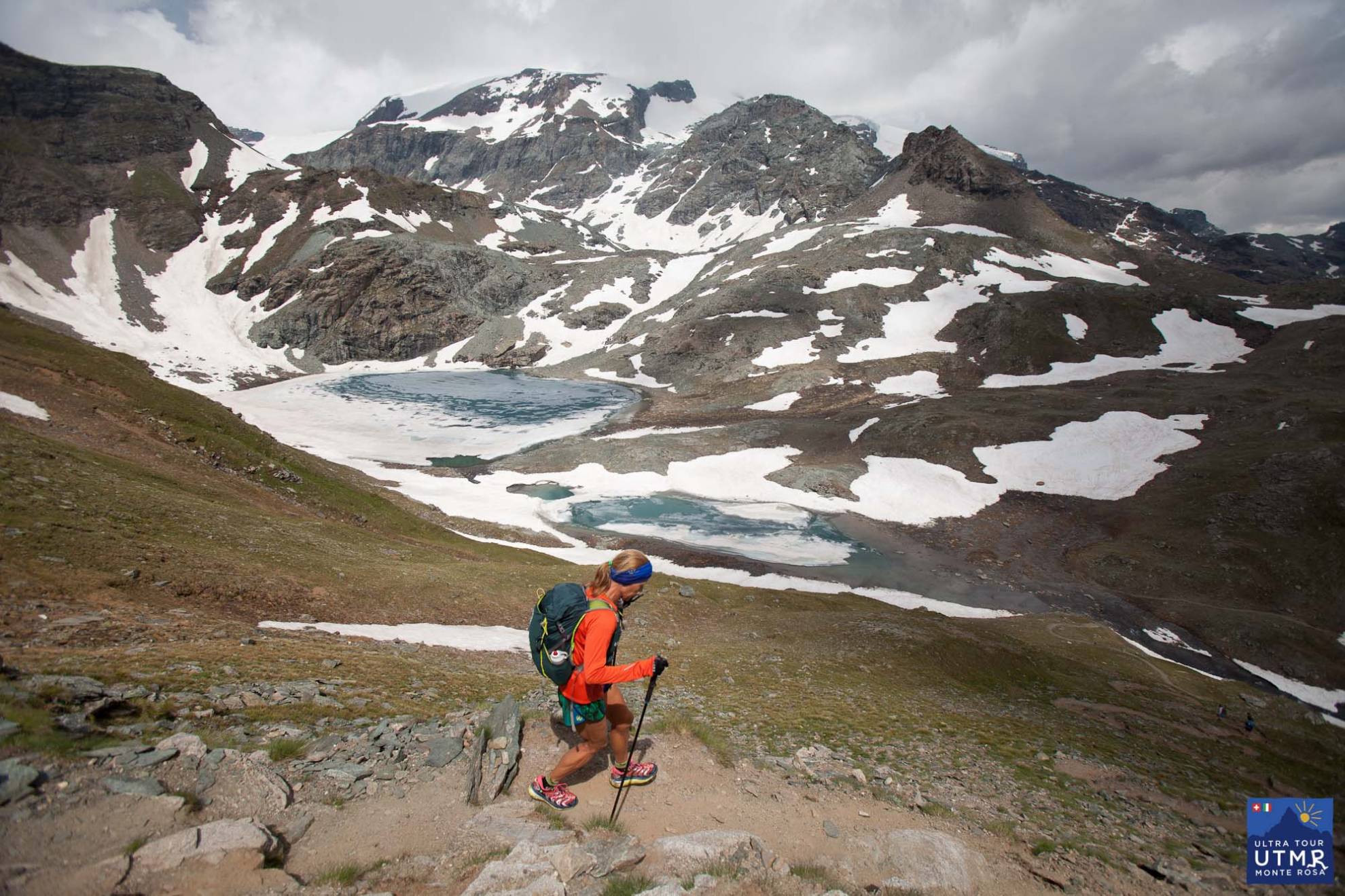
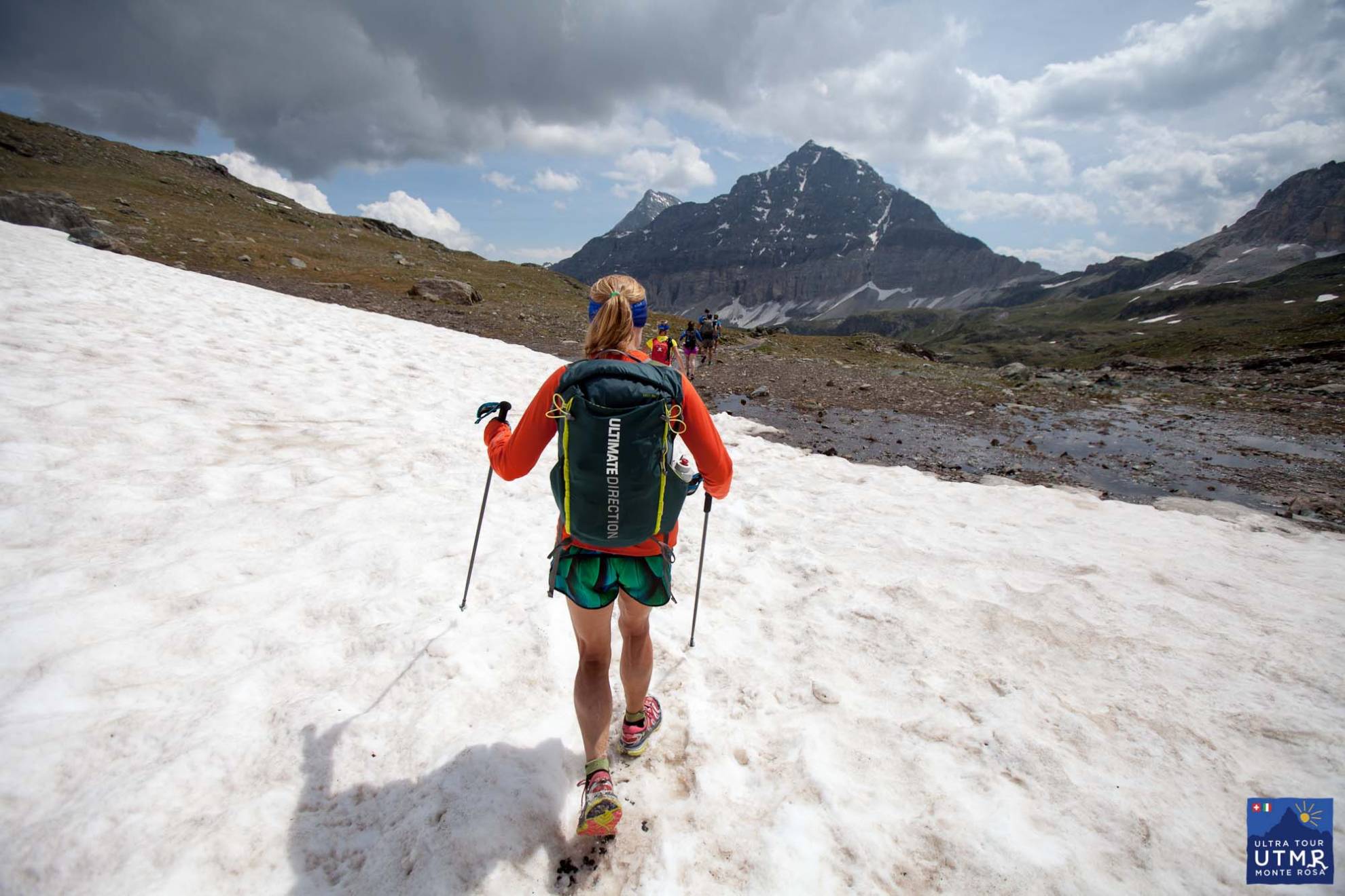
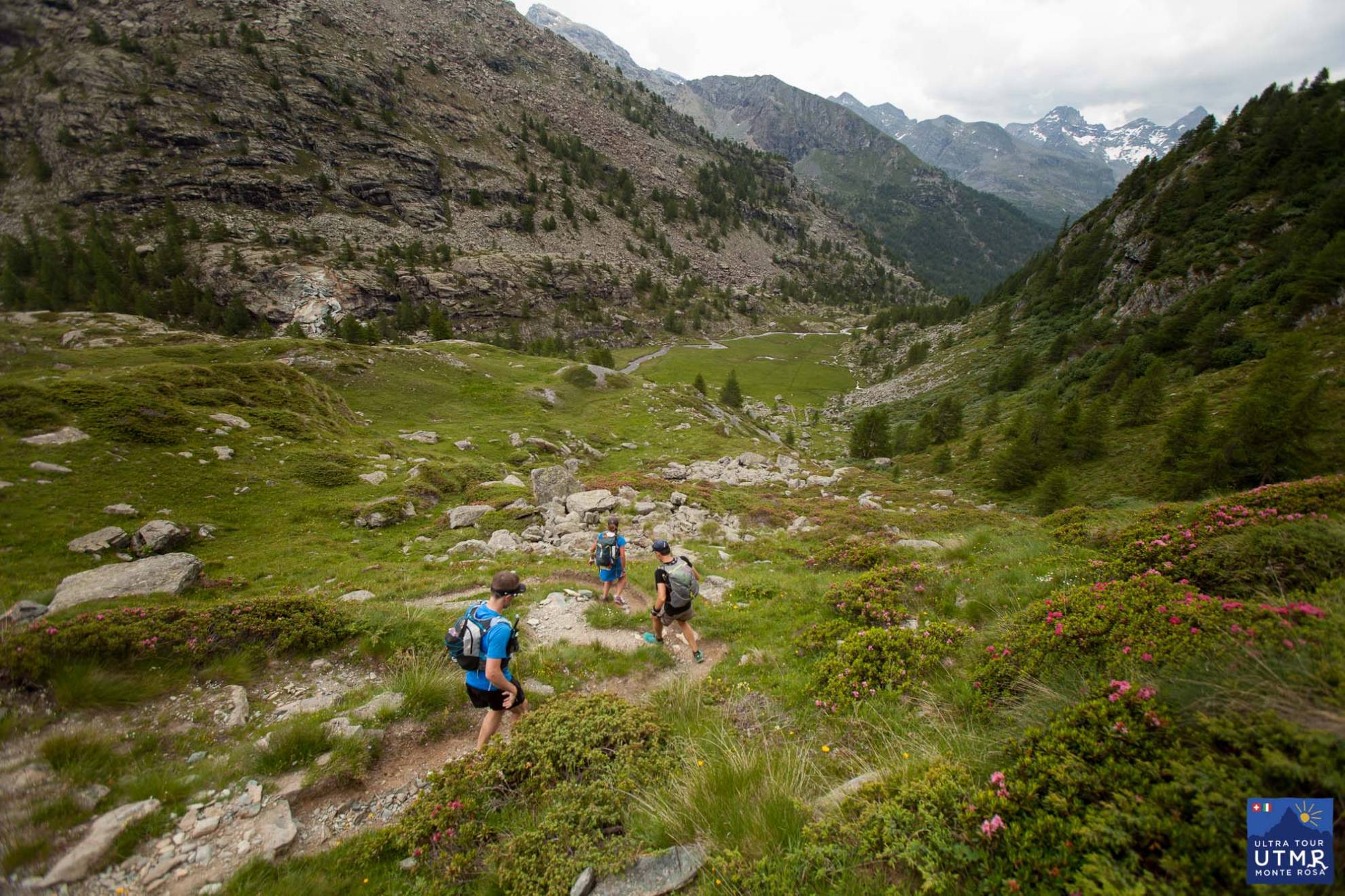
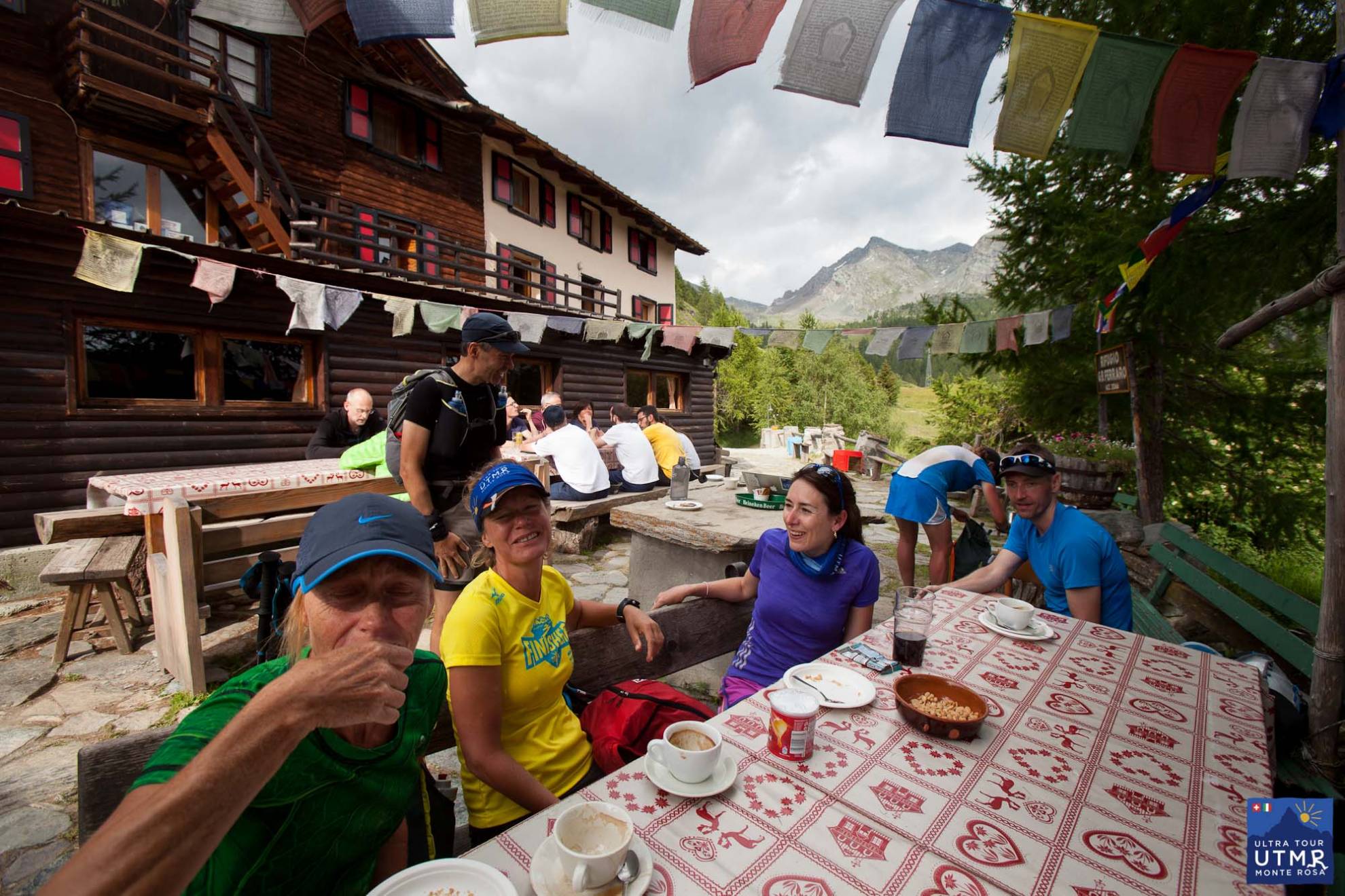
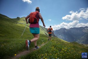
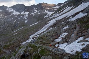
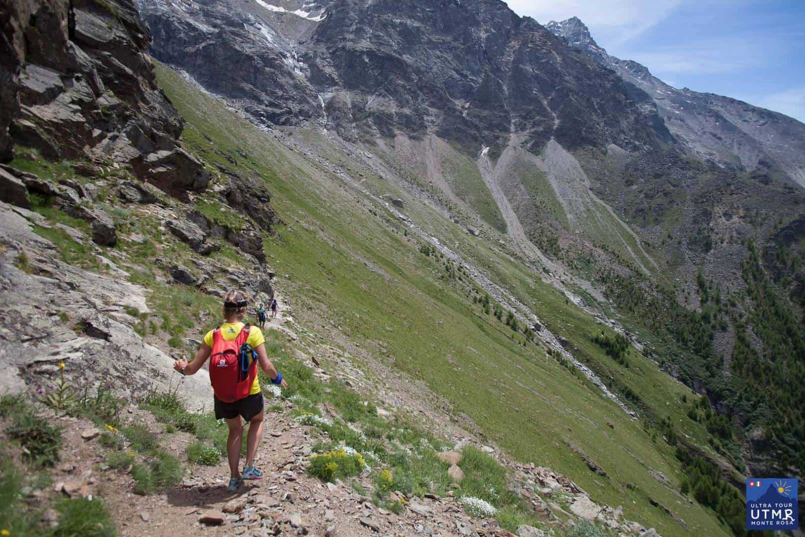
A small steady descent to the Lago Cime Bianchi (and a checkpoint) before a climb to Passo Cime Bianchi, and a steady descent to Rifugio Ferraro for an amazing feed. A last steady climb to the wild Passo di Rothorn, before the descent to Gressoney-la-Trinité.
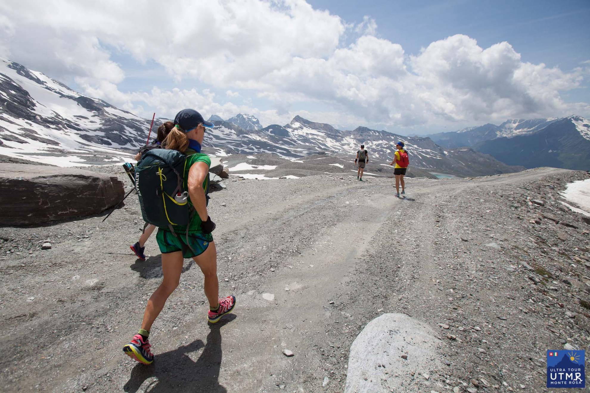
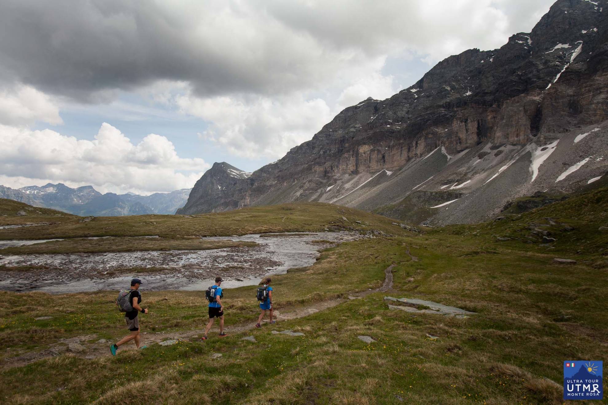
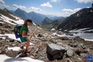
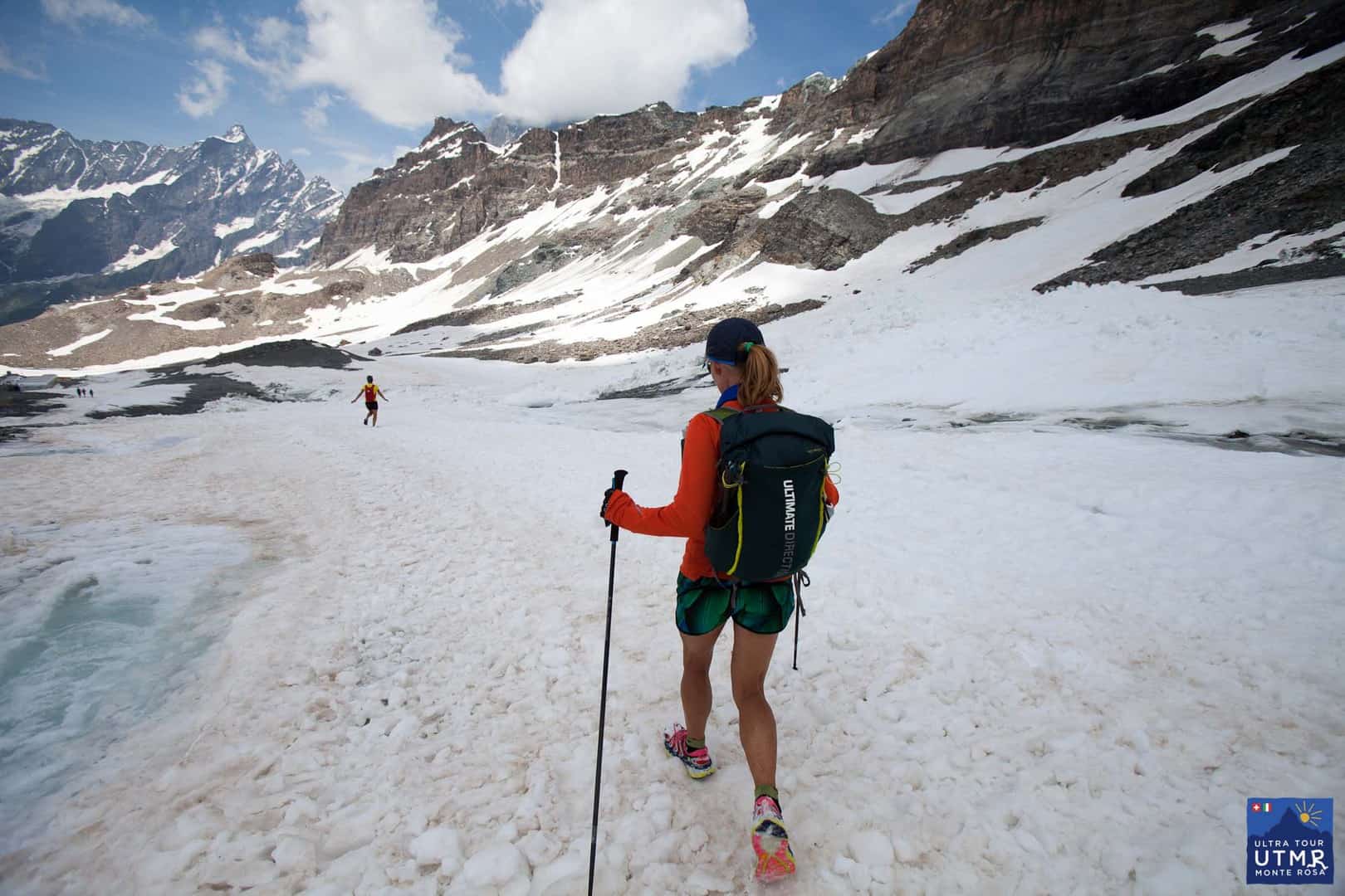
This is probably the easiest terrain of the four days, with lots of trail and path. In September there will be much less snow than appears in these pictures taken in July.


43.23 km +3679, -3995
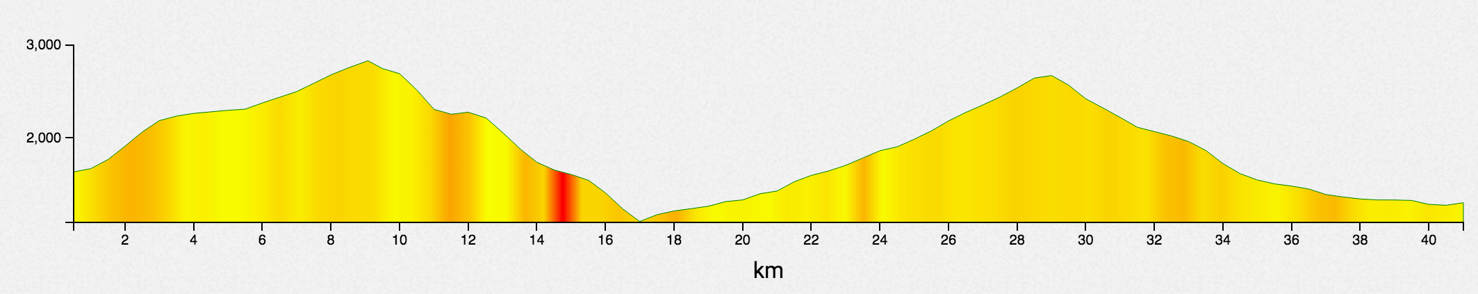
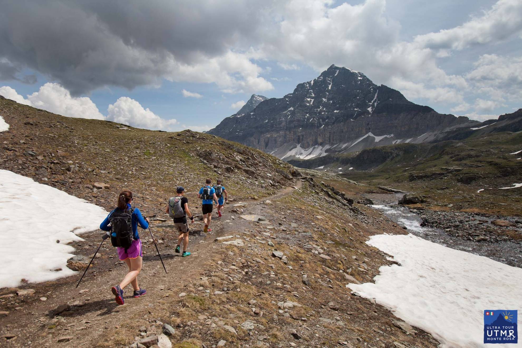
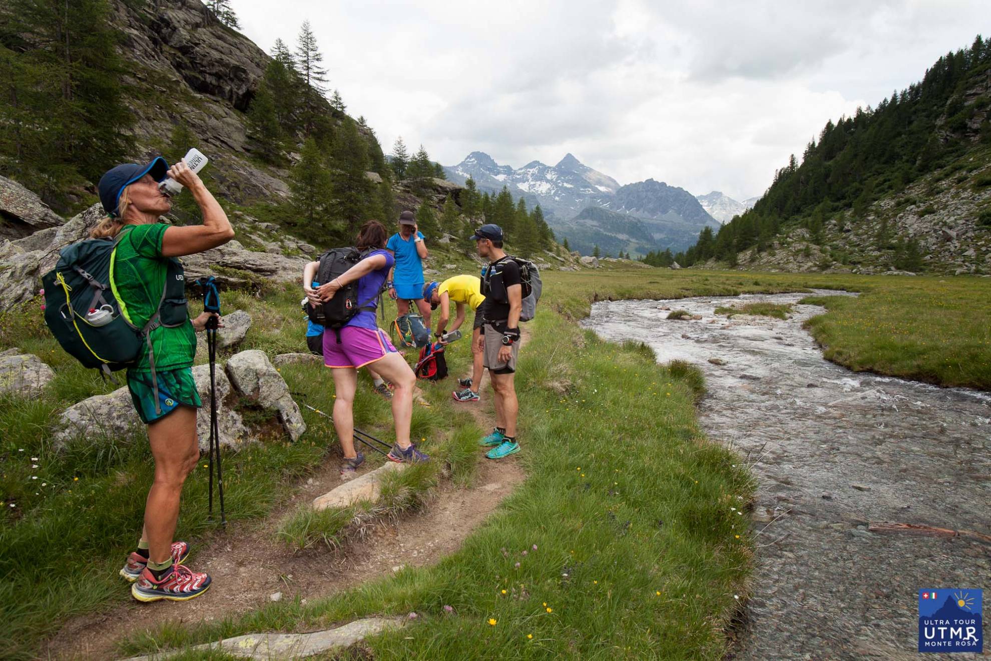
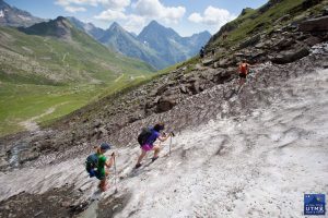
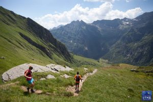
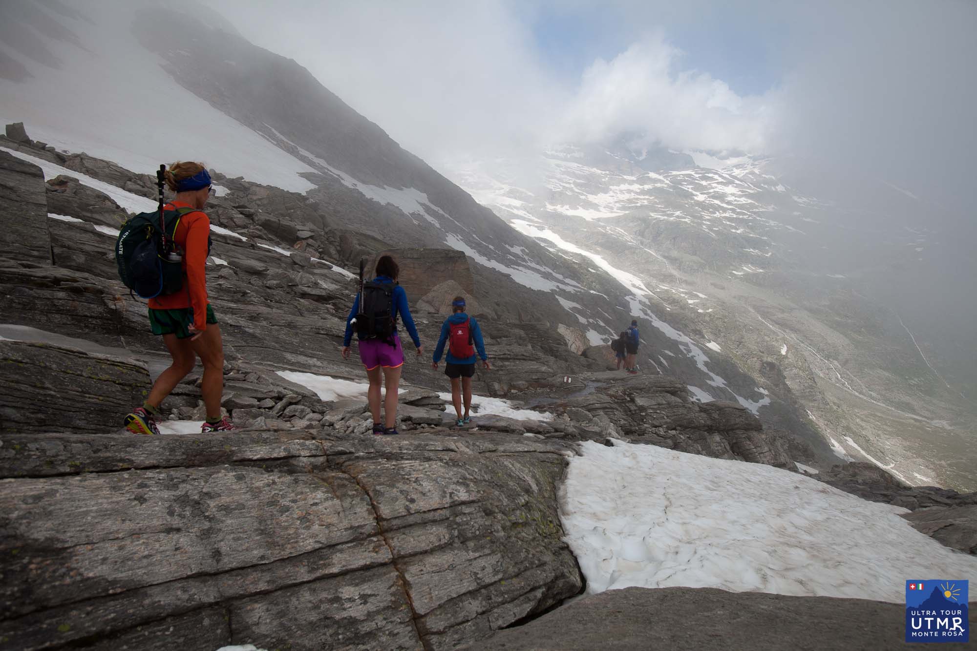
Two major climbs in this stage. The first to Passo dei Salati, a steady climb with checkpoint at the pass. Here you have a good chance to see sturdy-horned, shiny-coated Chamois / Ibex here. If you don’t see one, there is a alive-looking statue at the pass.
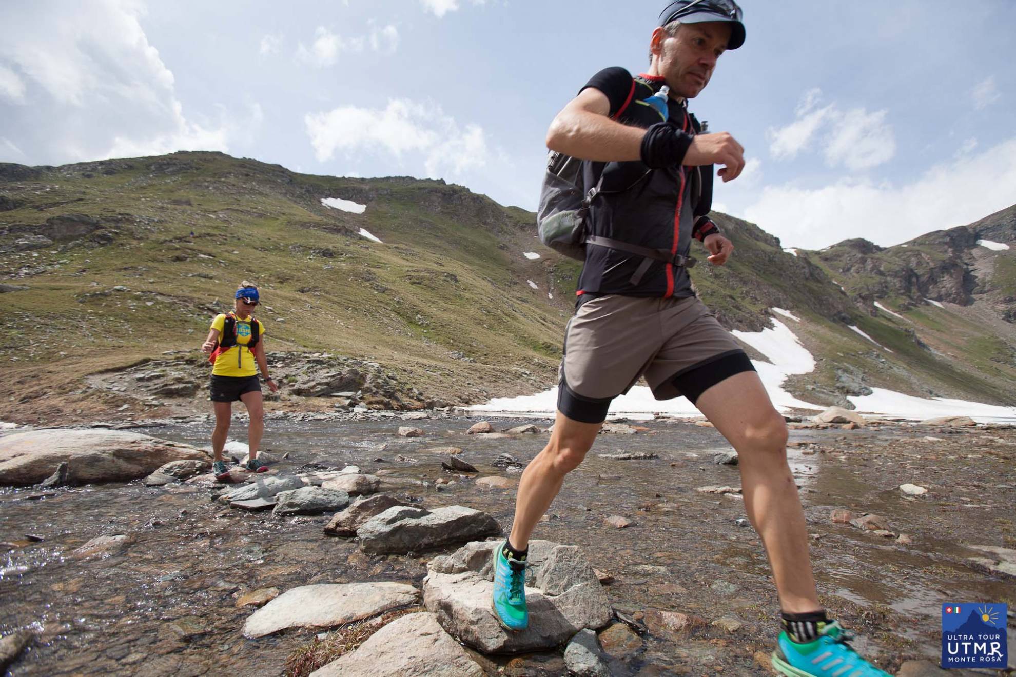
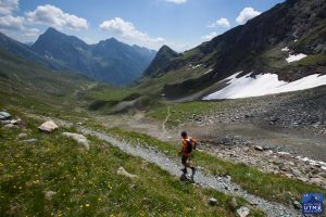
There is a fabulous, wild run down to Alagna, and an aid station with great food. Leaving Alagna, there is an easy 4km on tracks before a steep climb to a rifugio (spring water). From there a long wild section: a long climb to Colle del Turlo (2700m) and down to Quarazza (CP) and 4km further to Macugnaga. This pass is a medieval road, rebuilt during war time. A trail made from blocks of stone make the ascent easier (easy angled, but longer) and the descent difficult requiring focus until reaching the valley bottom.
44.67 km D+2844, D-2518
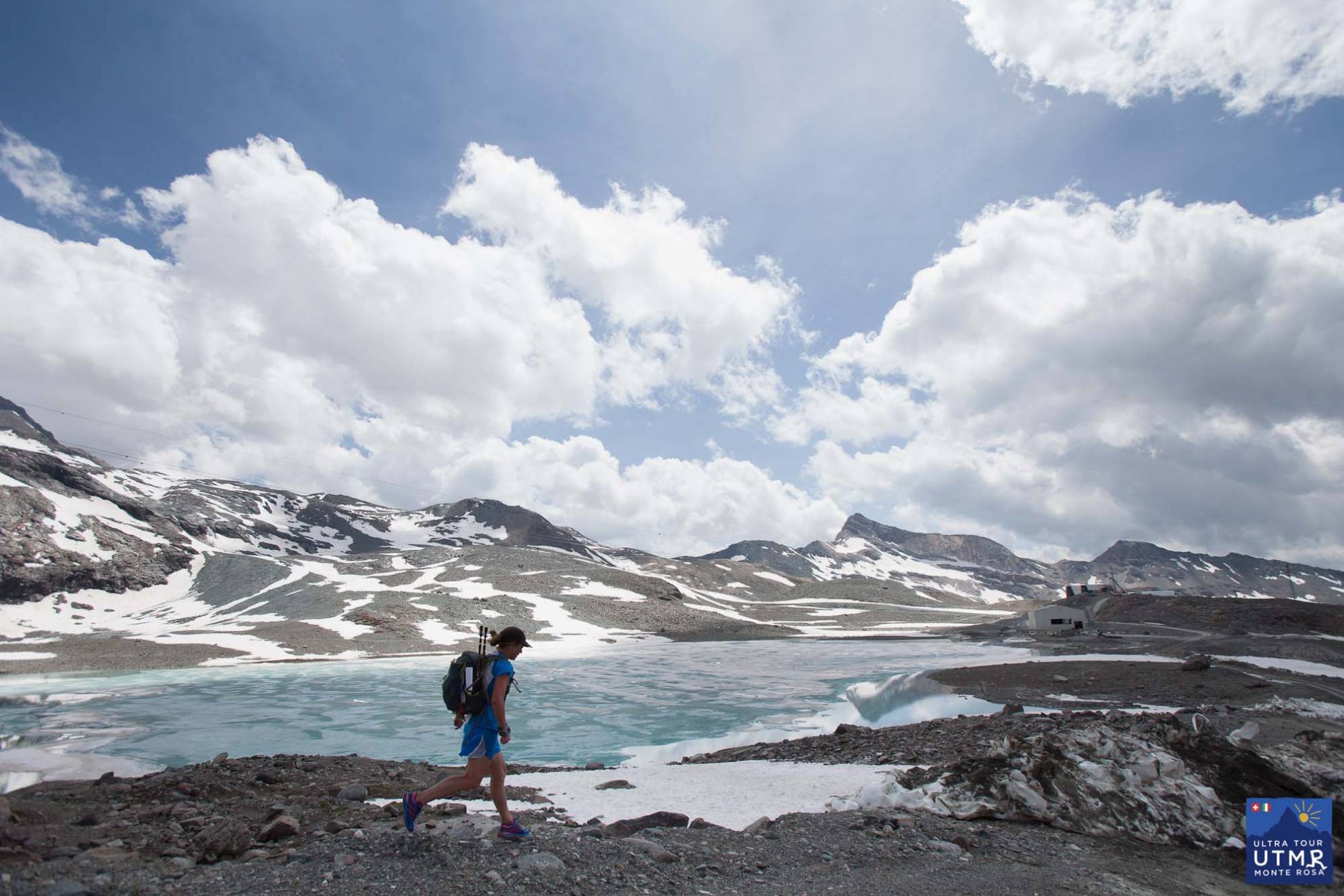
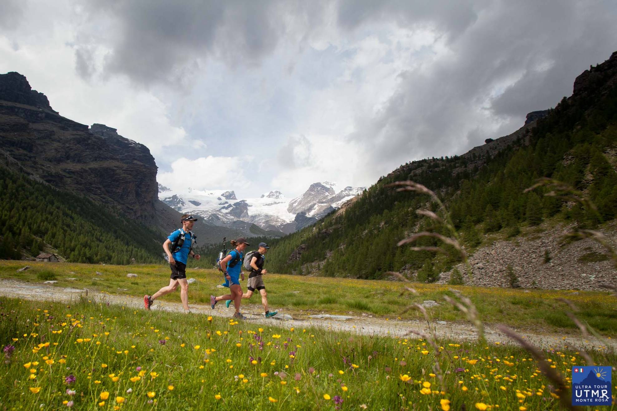
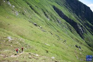
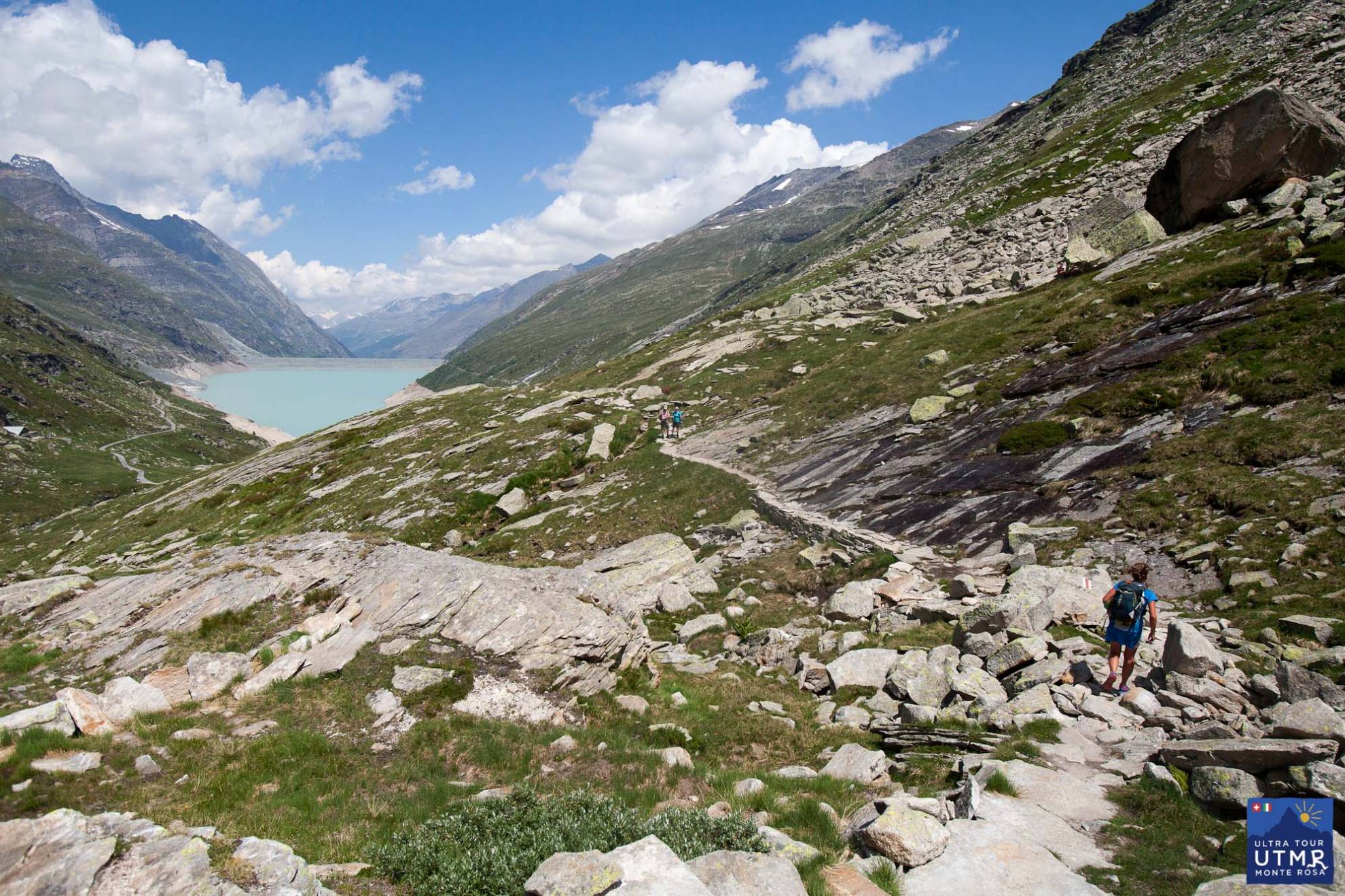
After a steep climb to Passo Monte Moro, with incredible views to the Monte Rosa massif, a long descent (technical at first) into the Saas Valley. The reservoir is a major landmark and gives a kilometre of flat, relaxed running.
After the reservoir, the final 3-4km to the Saas Almagell is over lots of boulders and extra attention is required to keep to the marked trail. A well stocked checkpoint at Saas Fee gives you a rest before joining the Höhenweg to the Hannigalp checkpoint, and the steep 700m descent to Grächen.
There it is. Far from easy! Follow the progress of the 2016 race on Twitter and join our mailing list via the form below.
(Thanks Fergus Edwards for comments and suggestions.)
Resources:
GPX file: UTMR 2017 gpx file
KML file: UTMR 2017 Google Earth
Sep 28
<

UPDATE: Lizzy completed in 37 hours 10 minutes
The climb is more than Everest from sea to summit, and fortunately the distance is much shorter than bay of Bengal to Everest’s top. But the comparatively short 169km on mountain trails with over 11,000m of climb and descent, all at an average altitude of around 2200m, is going to feel very long. Especially alone.
After three Everest Base Camp to Kathmandu “mail runs” (319km, 62 hours), a tour of the Annapurna circuit (circa 220 km, crossing a 5400m pass), the Manaslu Circuit (162 km, 5160m pass), and a recent birthday ~120km turn around the ring of hills around the Kathmandu Valley in Nepal, Ultra Tour Monte Rosa race director Lizzy Hawker is well practiced in this genre of attempting Fastest Known Times (FKT), or Only Known Times, or simply long, hard solo journeys with little sleep that, realistically, few other people are capable of doing.
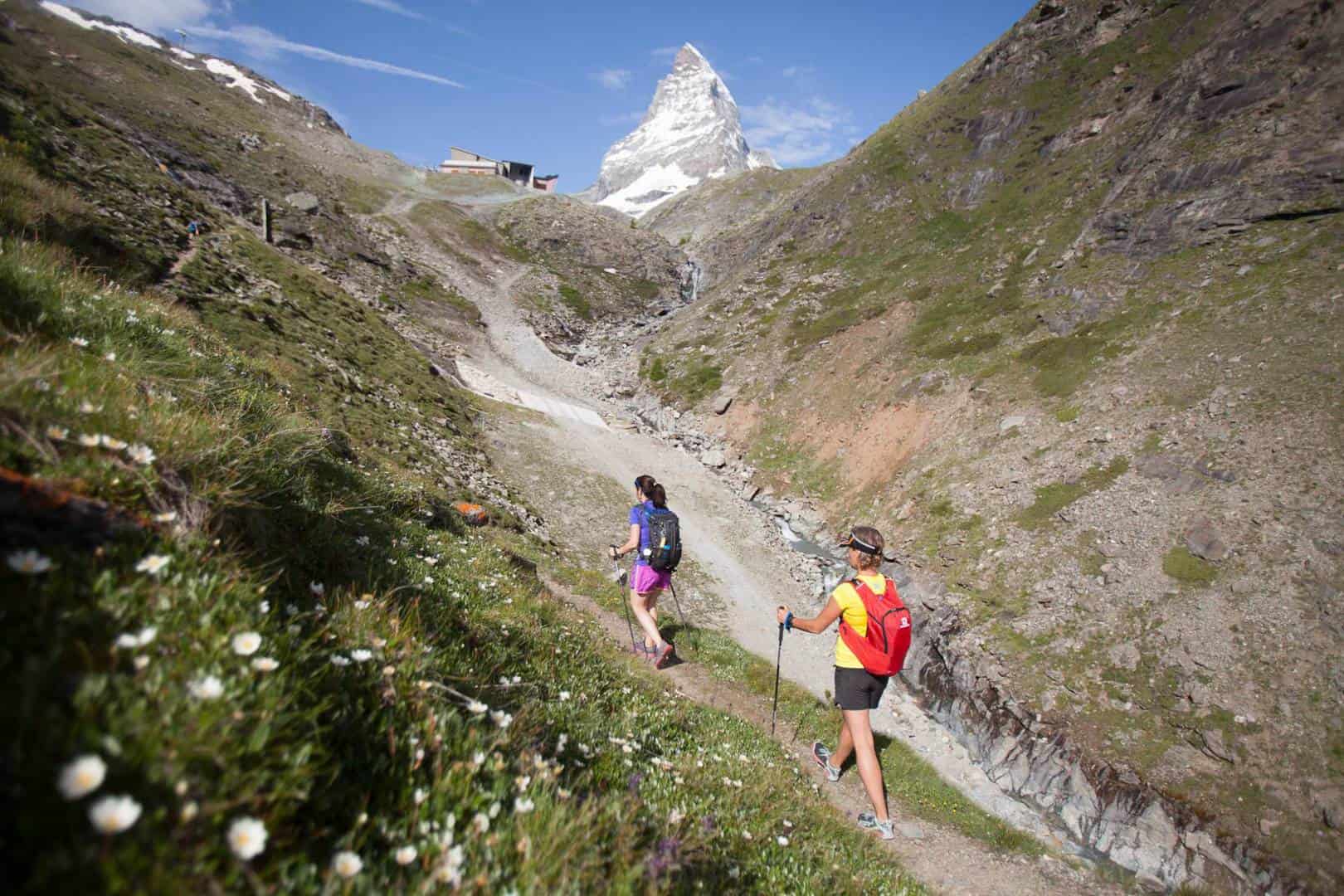
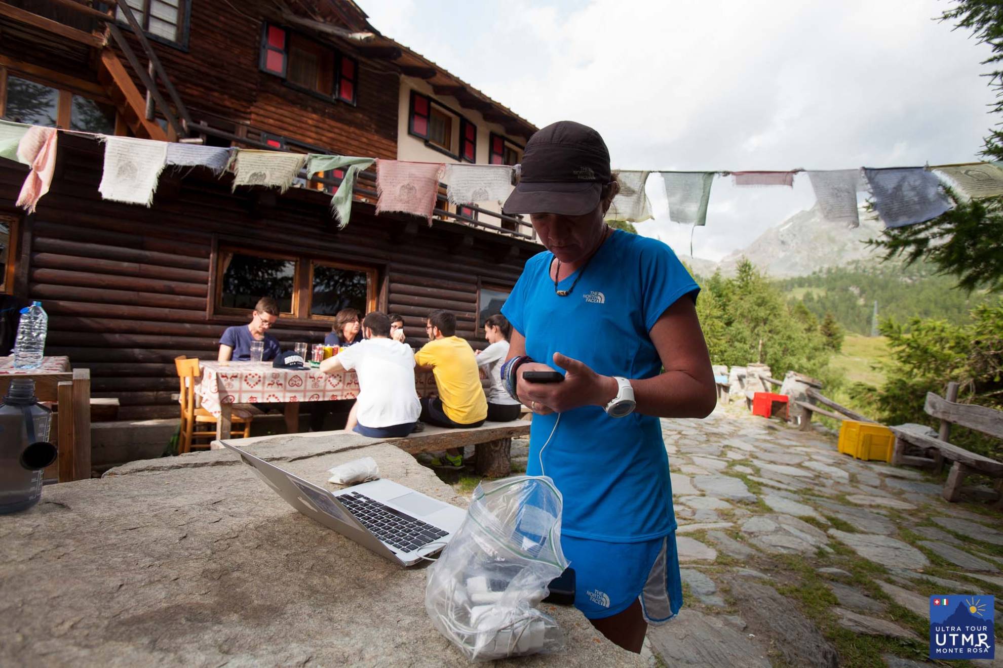
At the time of writing, Hawker is eight hours into her run and hike, according to her tracking device, she’s on the long hike up from Zermatt to Theodul pass at 3300m. In clear weather, the view towards the Matterhorn is a treat. The view away from the Matterhorn is a treat too for that matter.
![]()
Views aside, why is she doing this? “I need to have done this myself a couple of times before I can send people out to do it for themselves,” she says, adding, “albeit in an easier context of a race – aid stations, security, dropbags, supporters and co-runners etc.”
Hawker has probably completed the Tour of Monte Rosa more times than anybody else.
“Yes, you can say I’ve done it many times over two long days [as UTMB training], and more recently as a training camp in four days, but this is the first nonstop attempt.”
Beyond this, to make arrangements for the race, she has found it easier just to go on foot and take cable cars to visit the race’s guides, checkpoint teams and hoteliers. To drive to each checkpoint one by one would take 17 hours (857 km) or 13 hours (636 km) for this year’s shorter 116 km course starting in Cervinia.
Regardless of this experience on the Monte Rosa trails and experience of ultra long foot journeys, Hawker says, “I’m actually surprisingly apprehensive given the number of times I’ve run that distance, run through the night etc. it’s the not knowing what my body and mind are going to do, or how I will react or deal with it. I’m kind of caught between the known and the unknown. I know the route so well, but doing it in one go without support is something different.

Running alone
“The [period] before is harder, once started then everything else falls away and it’s just a journey. It’s nice to focus on something, to make a journey from start to finish and kind of suspend the everyday.”
If she completes it without problems, then she says, “as a bonus it will make a soft target for next year’s competitors to go for!” She will also be able to judge how demanding a challenge it is. It is harder than the tour of Mont Blanc, given the greater elevation change, longer climbs and the more technical trails. “I’ve estimated it will take runners 20% longer to complete,” says Hawker.
There are many things that could thwart the non-stop goal of course, bad weather being one. Another is a very busy race director’s inbox as the next race approaches, just five weeks away.
Follow Lizzy on her Open Tracking page. Information about the 2017 Ultra Tour Monte Rosa will be available in early September. Join the mailing list to stay informed.
Jan 10
<
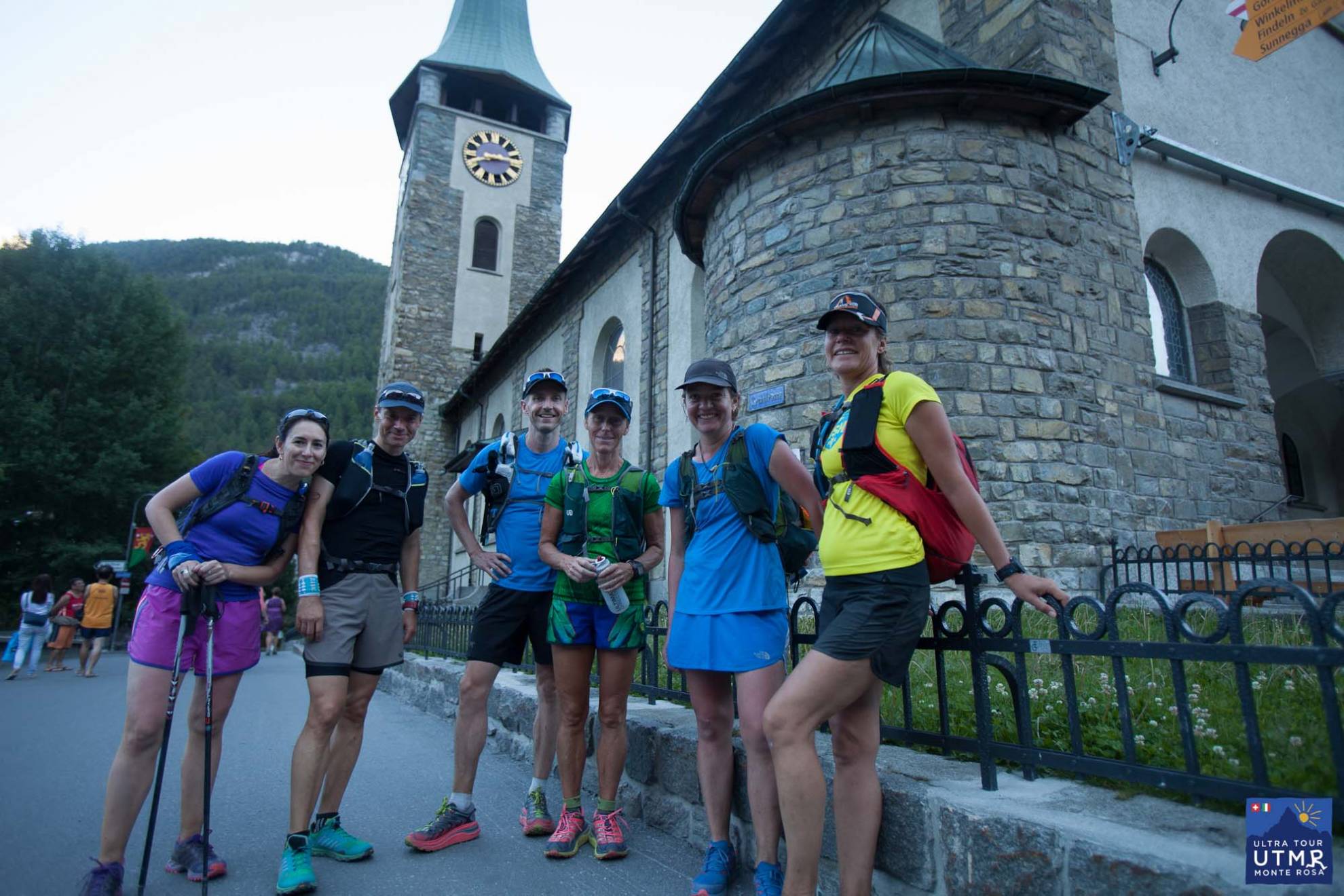
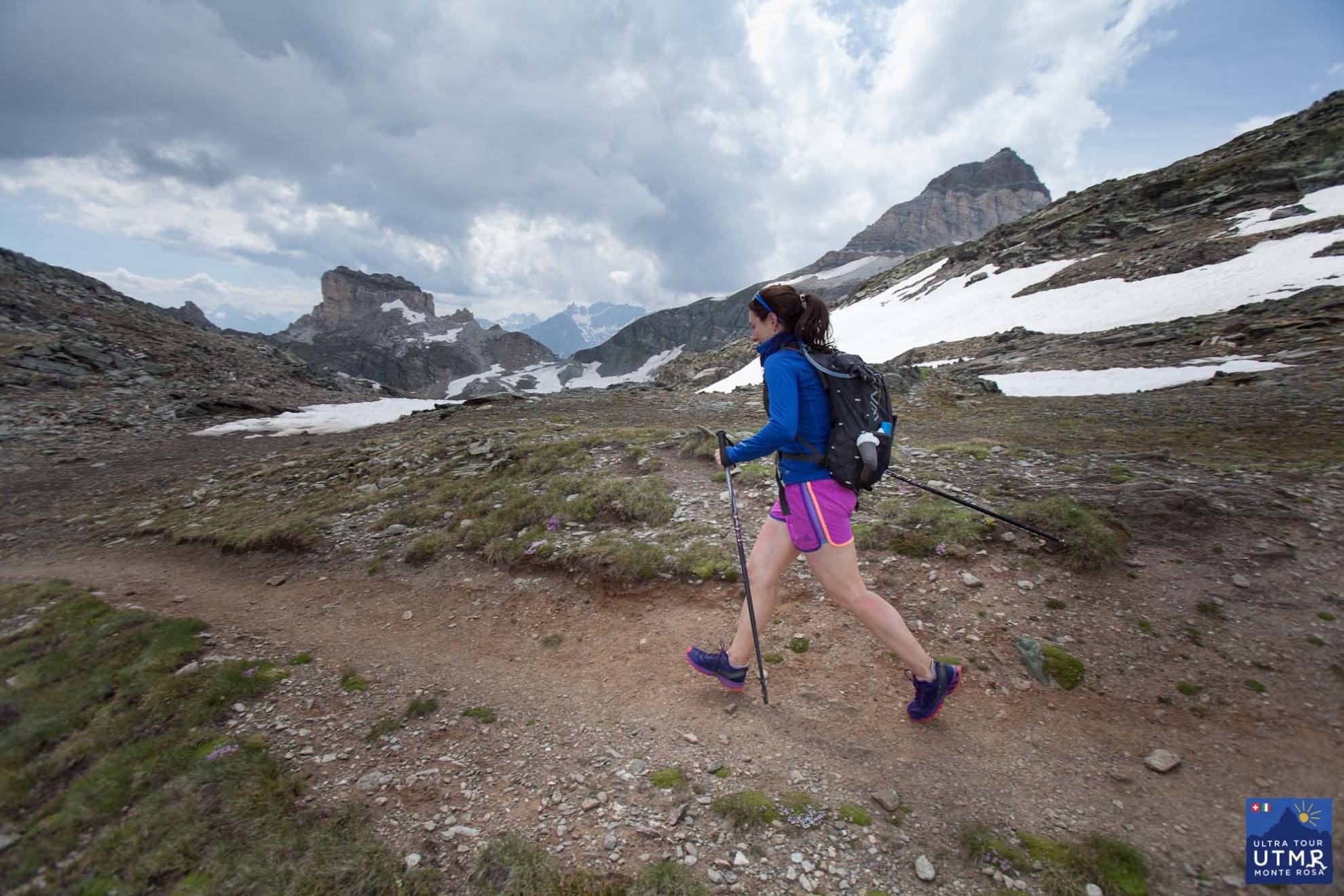
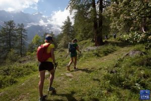
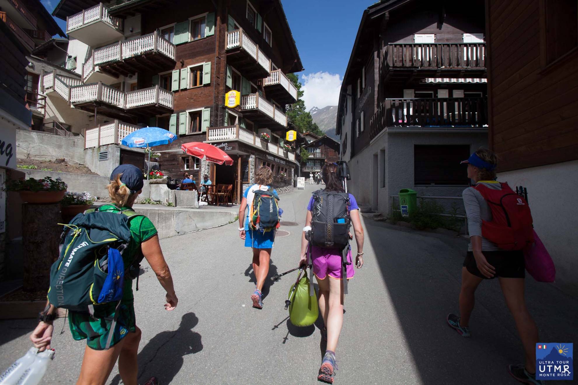
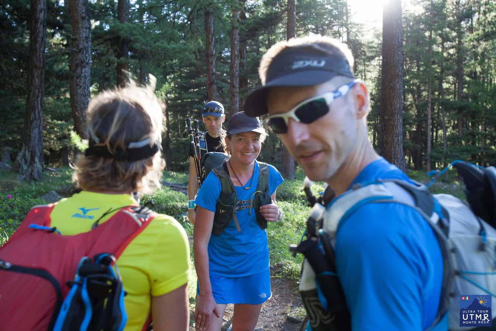
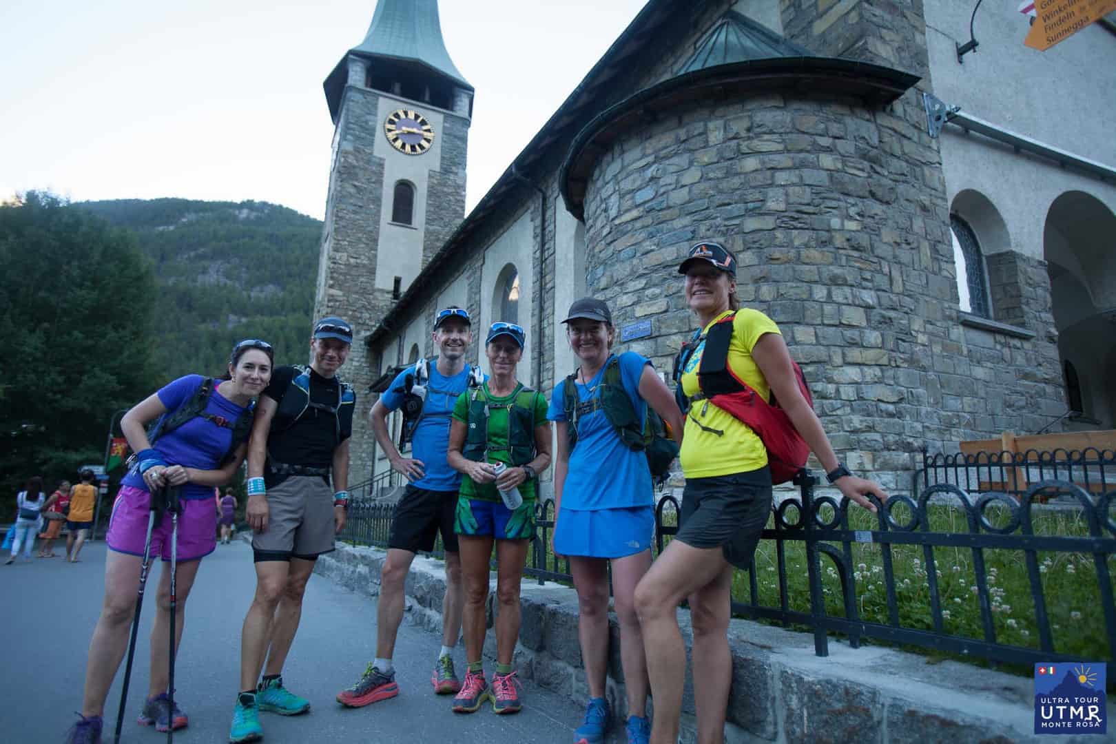
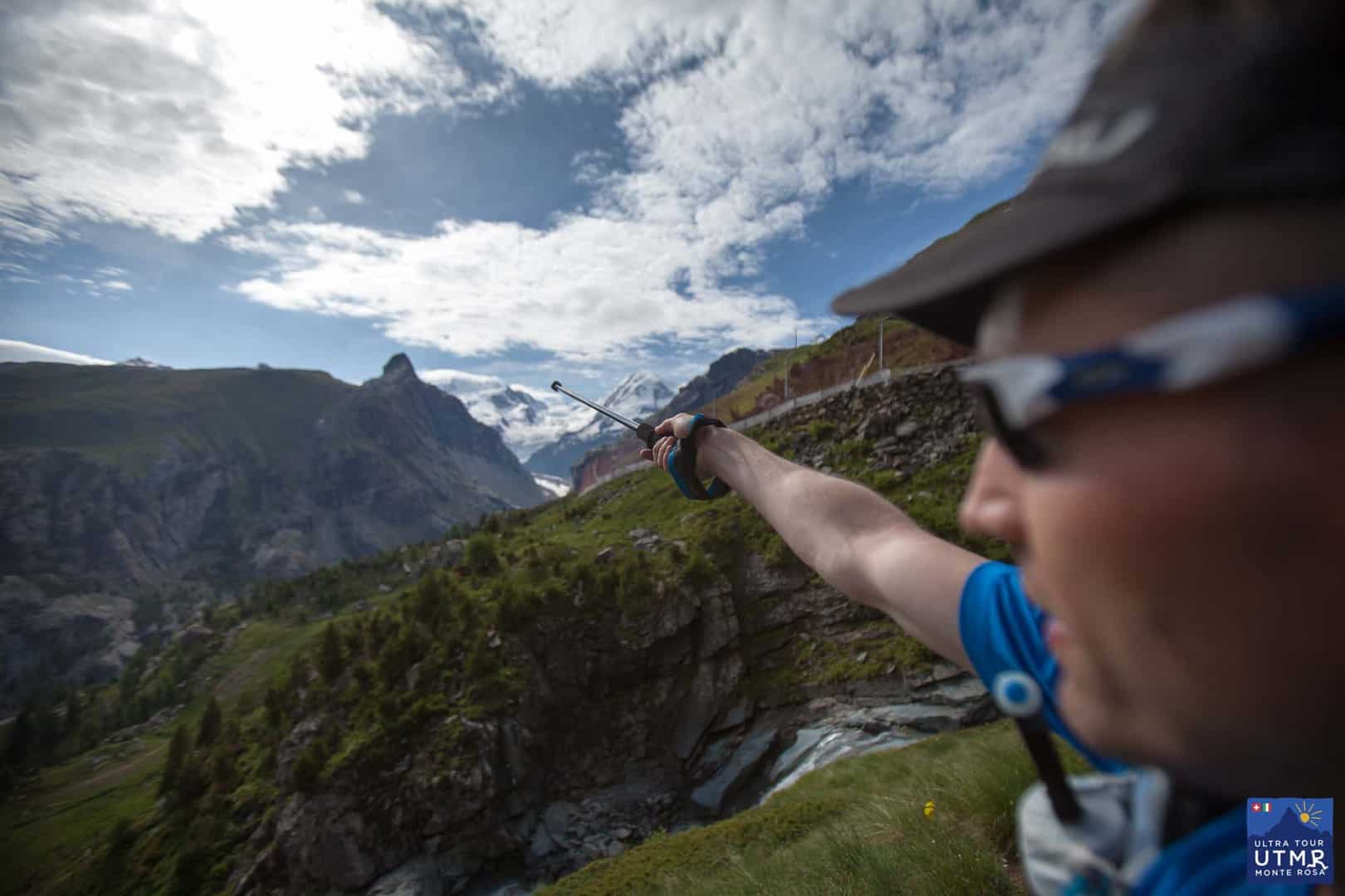
We’ve just held 2016’s first UTMR training camp – completing the full tour of Monte Rosa in four long days. A mix of running the downs and hiking the ups, to get familiar with the course and get long hours on our feet. It’s the kind of course that needs that. One of the participants, Fergus Edwards, was asked to give his opinion on the course as it will be in 2017, including the 40km section from Grächen to Zermatt along the Europaweg.
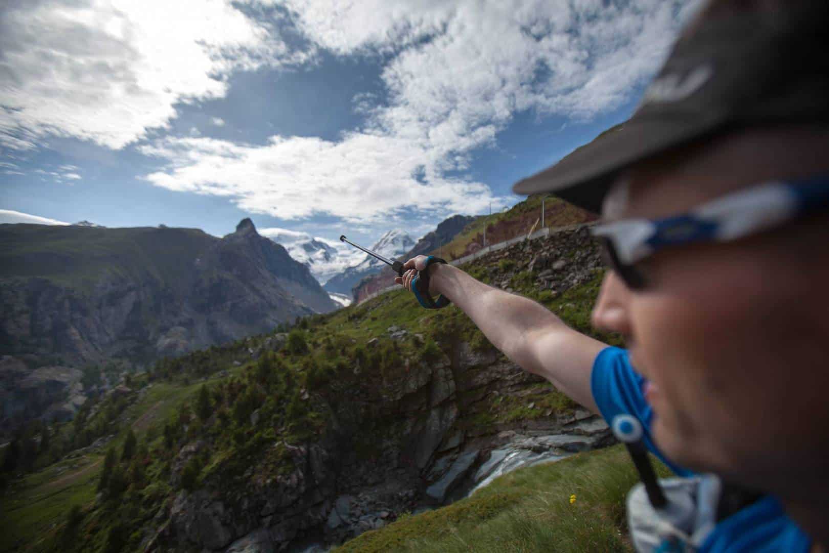
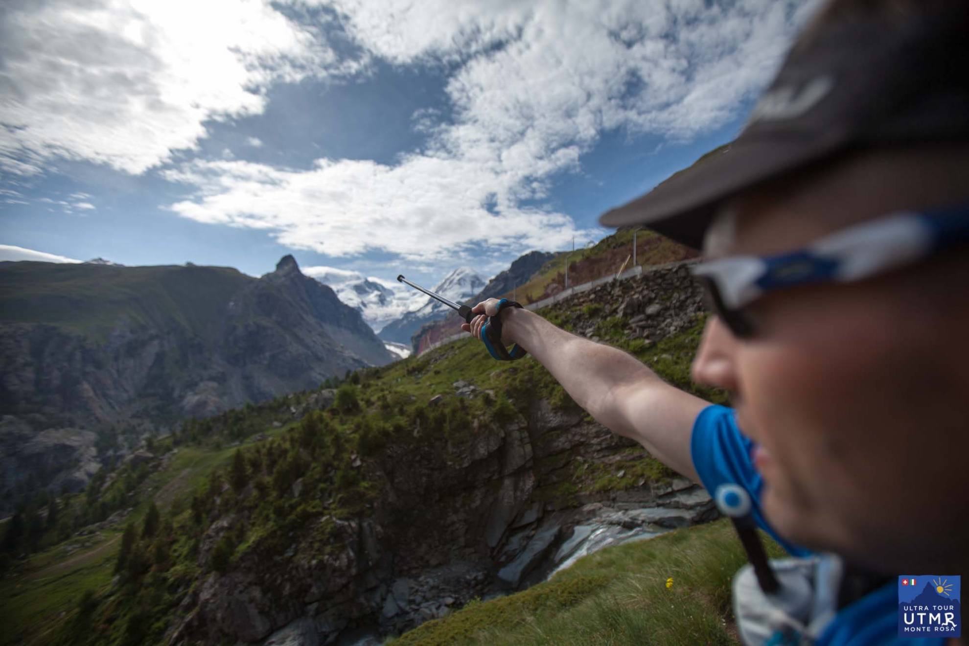
Fergus pointing to Monte Rosa
From Fergus:
If it’s a fair course, one that is an existing trail and that can, in theory, be completed without needing to sleep, then it’s probably about 100 miles long and up in the mountains somewhere.
It’s going to be tougher if it’s up higher, if the elevation profile is sharper, if more of the terrain is technical, and if the weather changes are likely to be severe. That’s going to make it harder to breathe, harder on the muscles and joints, harder to get into any running rhythm, and harder to keep the body warm and working.
The UTMR course is going to destroy runners that think it’s just another long run in the mountains. This is not a race that you turn up at and hope to hike the ups, jog the downs, and make it back tired but inside the cutoffs.
Two key reasons: firstly, the ascents and descents are longer and steeper than other races; secondly, the terrain is technical with boulder fields and tight turns to narrow paths clinging to cliff edges.
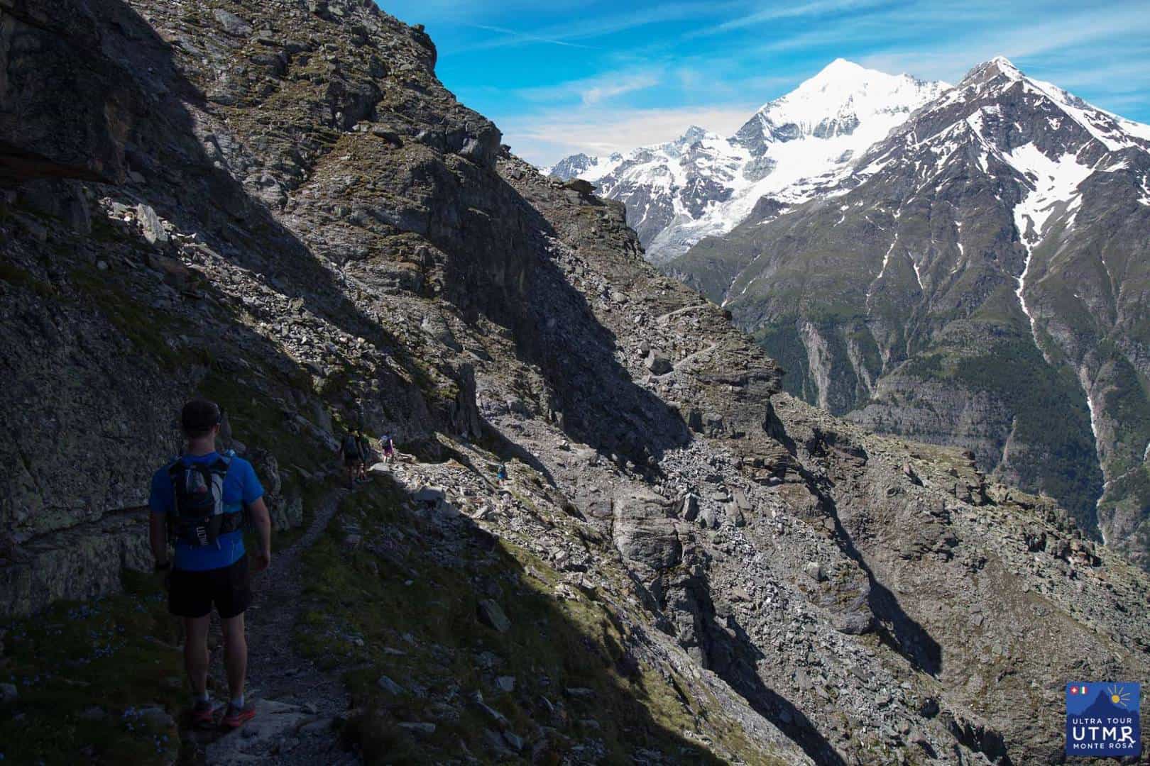
Fergus Edwards at km 10 of more than 160km.
The elevation change is more than a Western States or a Leadville, but even beyond that the defining quality is the steepness. There are two climbs of over 1,500m, and one of those takes place over only 8km; UTMB has only one such climb and it takes place over three times the distance.
The technicality of the terrain is harder to convey but probably more important. These aren’t groomed trails of pine needles or dusty crushed canyon walls; these are boulder fields or granite strewn switchbacks. Only the most technically competent runners are going to be able to move consistently, and no-one is going to be keeping a loose, even stride.
Technical trails on the Europaweg, the first 20km in 2017.
Technical trails on the Europaweg, the first 20km in 2017.
The physical stresses only magnify the impact of every decision the runner takes as the night closes in, the temperature drops, and as the weather changes. The ability to think and intelligently adapt will be at least as important as the ability to switch the mind off and move.
This is the way ultras began: with a competition between each runner and a raw, brutal, beautiful course. It’s why every finisher is celebrated: because at UTMR, not everyone is going to finish. Not by a long way.
+++
There you go! One man’s educated opinion. For reference, Fergus has run races, and made fastpacking trips, all over the world, and so he knows his trails and has something to compare the UTMR trails to. He’s run TDS (2015), CCC (2014) and many of the Racing the Planet races (all 250km self-supported, carrying all own kit) and The Four Deserts (Gobi March (9th)), Atacama Crossing, Sahara Race, The Last Desert (10th)). and the Roving Race (Ecuador) where he was the Winner, Team Competition.
Fergus in his stride on the way to Zermatt.
Aug 12
<
The 2017 ultra will be a full tour of Monte Rosa, from Grächen to Grächen, with a 4-stage race along side. This nicely builds upon the experience from the stage race only zero edition, and 2016’s single stage ultra along side the stage race. 2017 thus adds the Europaweg from Grächen to Zermatt, and the crossing from Switzerland to Italy.
On the way to Zermatt!
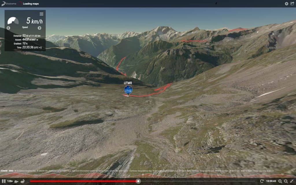
So how is the new section of trail that has not been run yet? Well, it’s wild! Here’s a Google Earth map.

Google map and profile for Day 1 of the UTMR training camp. This is the 2017 route!
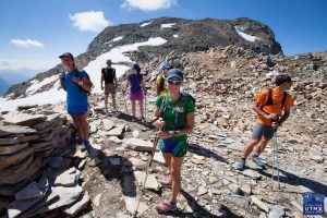
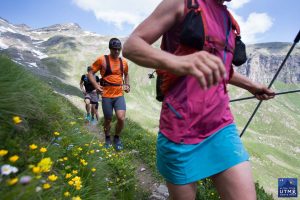
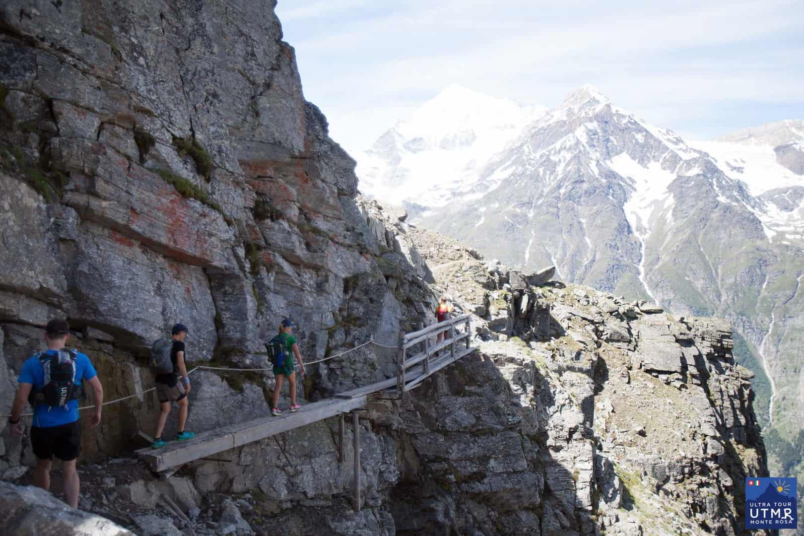
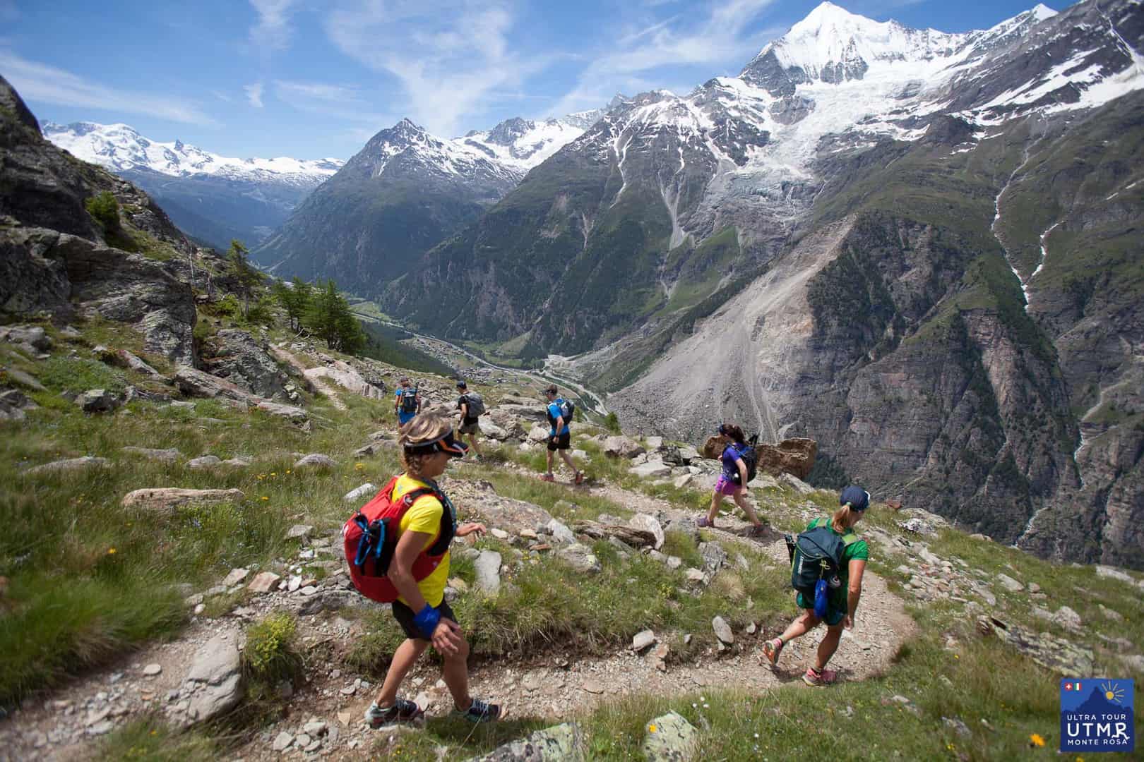
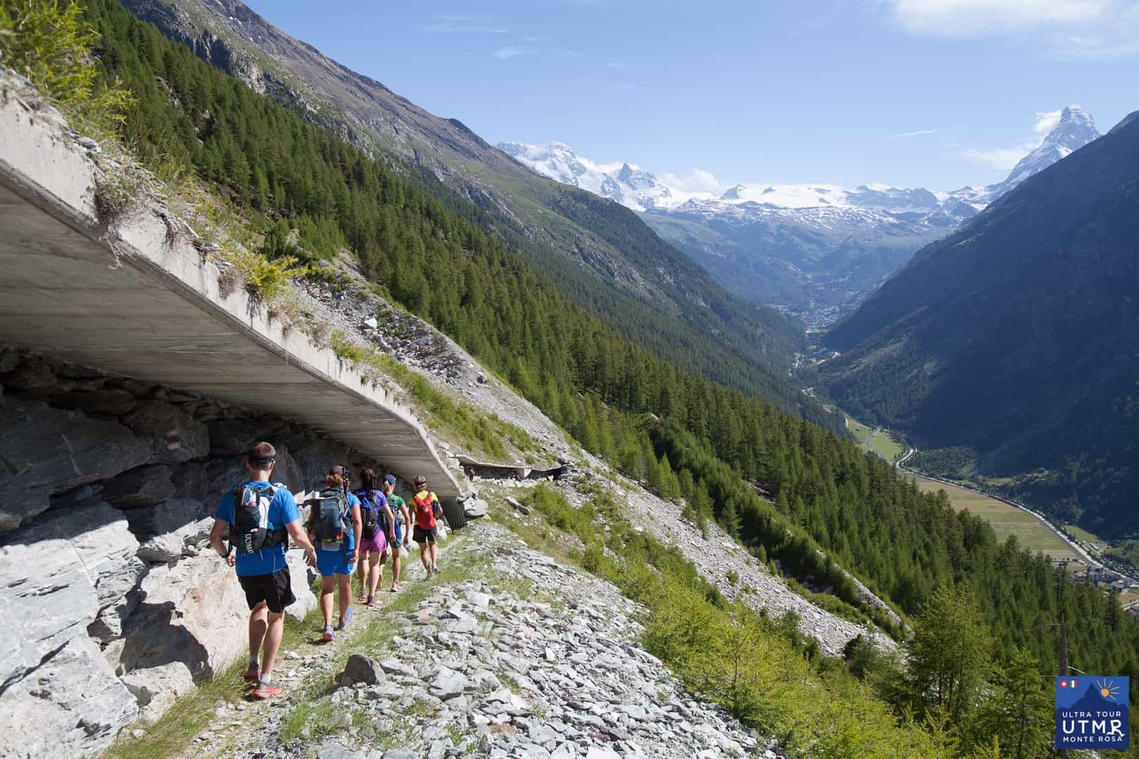
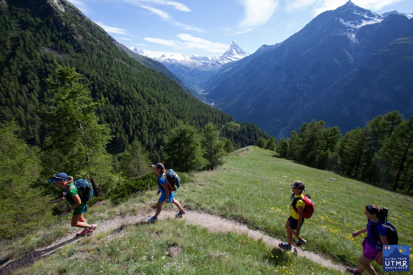
From Grächen, after a flat warmup, it’s a kilometre climb over 5km to get on the Europaweg. From here the views are excellent, but the trails are challenging: narrow and rocky. You can see from the photos below, passing will be difficult in places, and runners will be challenged by crossing boulders on landslides.
There will be a checkpoint at around 15km, the Europahütte, and shortly after here, a bridge across a gorge is closed, which requires a 700m descent followed by a 700m climb again.
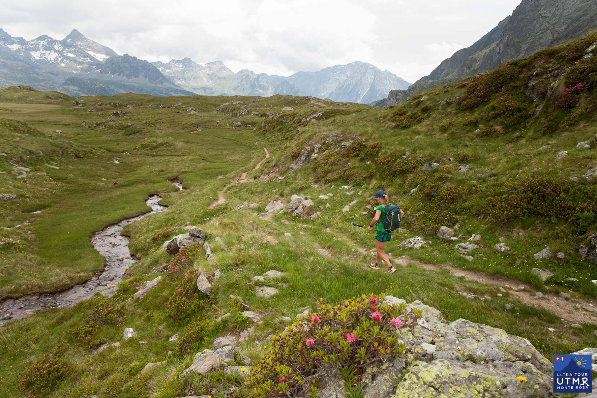
The trail has some wonderful runnable sections, but is always climbing or descending. Towards the end the trails towards Taschalp, and then onwards to Zermatt are beautiful, dream trails even if the weather allows a view to the Matterhorn.
Below are GPX and KML files for the route so you can inspect at your leisure.
After Zermatt there is another substantial climb before the route connects with the 2016 route. It will pass over the Theodul glacier and pass over into Italy near Furggsattel at around 3340m. The two checkpoints here will be:
Then the 2017 route continues as the 2016 route. A GPX / KML track will be released soon which will give distances and elevation changes.


Sep 23
<
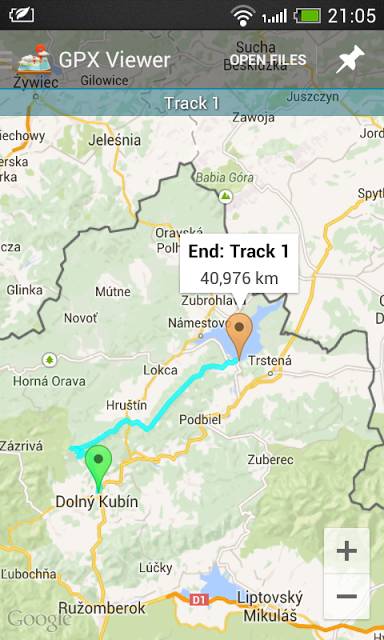

Follow your route on your phone
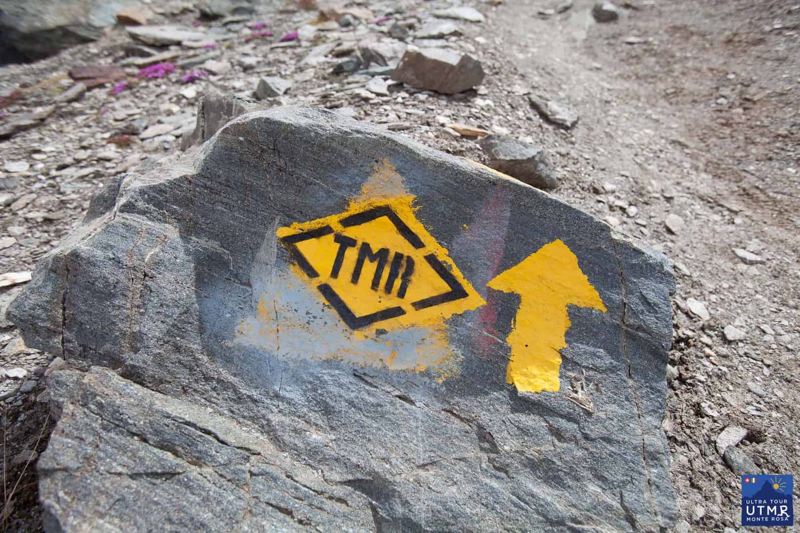
We take pride in marking the Ultra Tour Monte Rosa course well with florescent markers such that nobody get lost. But everybody sometime gets into the zone of deep concentration, or deep conversation with a running partner and has missed that sharp right turn and continued down the trail.
If you carry a smart phone with you, one extremely easy way to locate yourself is with a simple app called GPX viewer. It’s available for iPhone and Android (though made by different companies with the same name).
It allows you to load the GPX track of your route into your phone, and then with the location function (GPS) enabled, you can see exactly where you are in relation to the route.
The big downside with smartphone technology is that is doesn’t work when the battery is dead, and if it is raining, it’s also difficult. The maps need to be pre-loaded also before using in out-of-network places, then they can work without using data.
So they cannot replace a map and knowing how to use it, or keeping attention focused on the trail markers. But if you’re carrying your smartphone anyway, it’s another option you have at your disposal.
For iPhone
For Android
Why not install it now and test with the race’s GPX tracks?
Sep 29
<

The five-time Ultra Trail du Mont Blanc winner and former 24-hour road world record holder is turning her hand to race directing for the first time next year with the UTMR – a 150km mountain race in the Italian and Swiss alps

Sep 28
<
Today is an exciting day!
We start to tell the news and story of our race.
Welcome to Ultra Tour Monte Rosa.
We have been working hard on this new project to develop a beautiful trail race around Monte Rosa on the Swiss / Italian border. We will hold a zero edition 4-day stage-race in August 2015, and the full inaugural 150km ultra marathon in 2016.
Exact plans are still subject to change depending on final permissions. We will confirm as soon as possible. Please do sign up to our mailing list to be kept informed of all news and developments, and take a look at our gallery of photos to give you an idea of the landscape.
The story behind the race: I am Lizzy Hawker, an endurance athlete, and I first went to Zermatt at the age of 6, which is where my love of the mountains started. The opportunity to create a race here and to share this love means a lot to me. Having explored the trails in this region extensively, I am convinced they are some of the most magnificent in the Alps. My intention in founding this race is simply to give people an opportunity to explore these trails, and to experience the value of challenging themselves within the context of an ultra distance race. Running and racing has, over the years, given me so much, and this is what I would like to share with others now.
The route passes through the Zermatt valley, towards and then away from the iconic Matterhorn, crosses 6 high passes, and has an average altitude over 2000m. It is a circumnambulation around the huge and imposing massif of the Monte Rosa. On often technical trails, and with more than 10,000m ascent and descent, it is firmly in the “hard” category. In my opinion the route is tough, beautiful and alluring!
As race director, I would really like to encourage more women to participate and we will work towards achieving this in various ways. It will also be important to us to support all our runners in their journey to reach the start line, so that we have as many finishers as possible and all have a great experience. Entry criteria for the ultra marathon will be tough, but we will encourage participation and greater access through our stage race and provision of training camps.
We are working hard to make this beautiful journey a reality so that you can come and join us.
See you in August 2015!


Leave a Reply