Sep 23
<

We take pride in marking the Ultra Tour Monte Rosa course well with florescent markers such that nobody get lost. But everybody sometime gets into the zone of deep concentration, or deep conversation with a running partner and has missed that sharp right turn and continued down the trail.
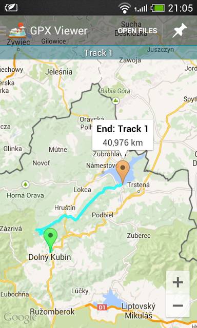
If you carry a smart phone with you, one extremely easy way to locate yourself is with a simple app called GPX viewer. It’s available for iPhone and Android (though made by different companies with the same name).
It allows you to load the GPX track of your route into your phone, and then with the location function (GPS) enabled, you can see exactly where you are in relation to the route.
The big downside with smartphone technology is that is doesn’t work when the battery is dead, and if it is raining, it’s also difficult. The maps need to be pre-loaded also before using in out-of-network places, then they can work without using data.
So they cannot replace a map and knowing how to use it, or keeping attention focused on the trail markers. But if you’re carrying your smartphone anyway, it’s another option you have at your disposal.
Why not install it now and test with the race’s GPX tracks?

Leave a Reply